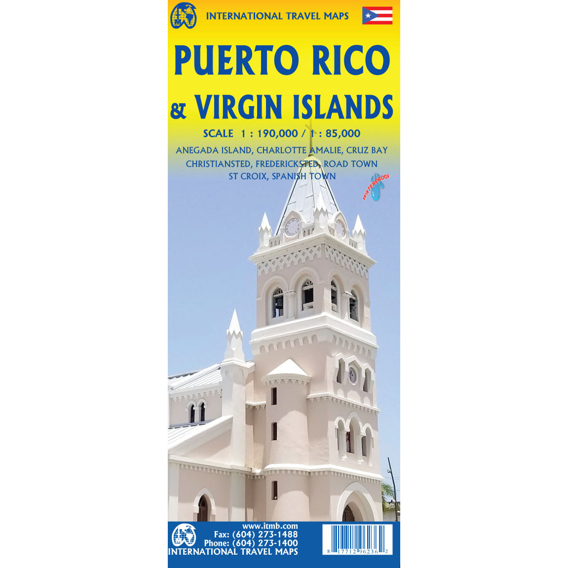
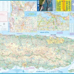
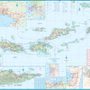
ITMB – Virgin Islands & Puerto Rico – Folding Travel Map
$13.95
Published: 2020
The durable and convenient ITMB maps will take all the wear and tear your journey can dish out.
In stock
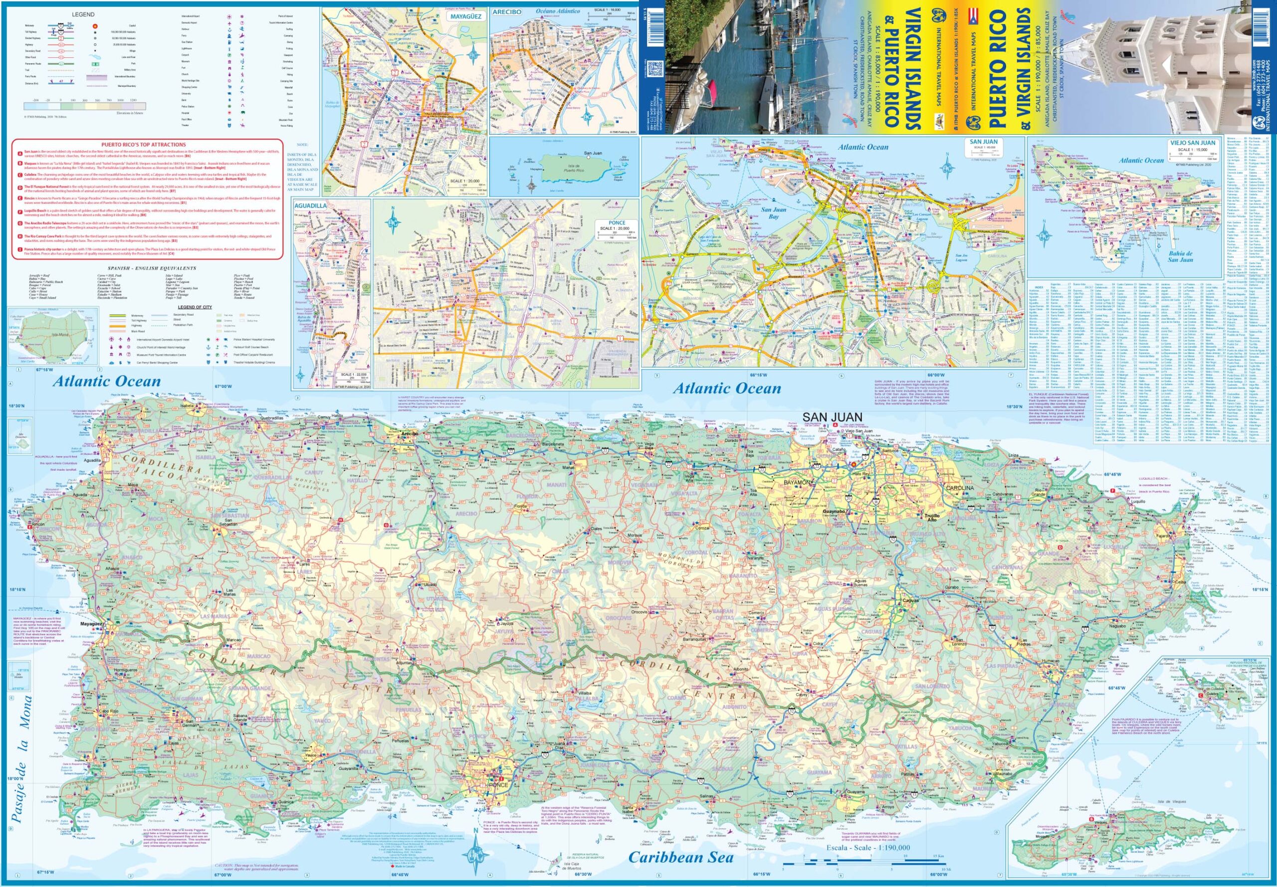
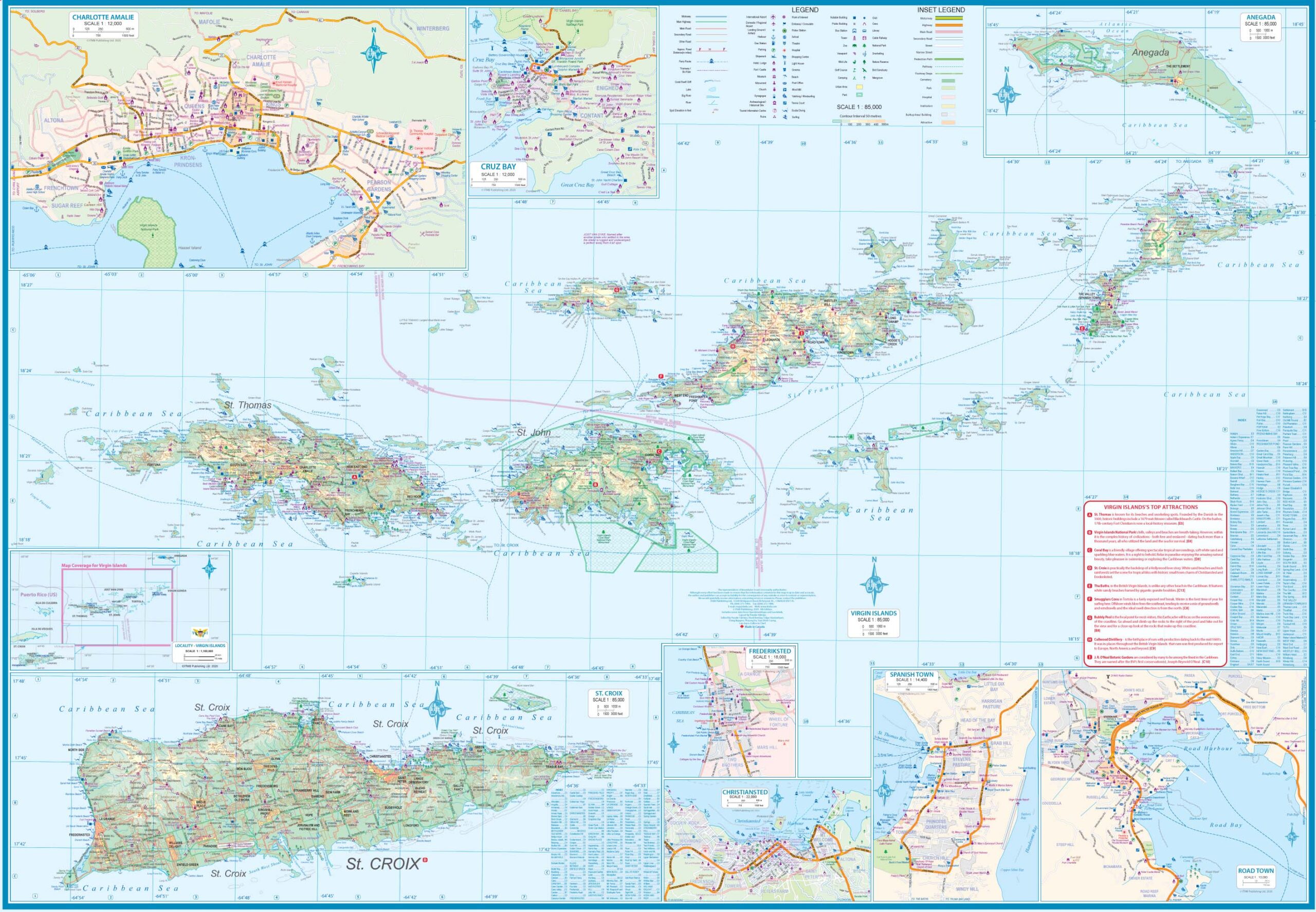
Waterproof map of the Virgin Islands (both US and British) published by ITMB. On one side are the US Virgin Islands, accompanied by street plans of Charlotte Amalie on St. Thomas, including an enlargement of its historic district; Chistiansted, Friedensfeld and Frederiksted on St. Croix; and Cruz Bay on St. John. On the reverse are the British Virgin Islands, with street plans of Road Town on Tortola and The Valley (Spanish Town) on Virgin Gorda. Maritime links are indicated, terrain mapping and index of cities are included.
About the Author
ITMB Publishing (International Travel Maps and Books) prepares detailed travel maps and atlases of countries and regions around the world, specializing in Africa, Asia, Canada, the Caribbean, Europe, the Middle East, and Latin America. As a publisher, ITMB has released more than 425 titles to date and is adding about 30 new titles each year.
Back-Orders & Out of Stock Items
If the item is currently out of stock it will ship as soon as we can get it. This will be shown in the “Normally Ships in” section above. If the item is on backorder you will recieve an email with updates as we recieve them. Our goal is to get your products to you a quickly as possible!
Returns
We offer free returns within 30 days for this product. Contact us within 30 days of receiving your product to receive a return authorization number, which you can write on the box and ship back to us. We will issue your return within three days of receiving the product back. **We do not refund the initial shipping charges and you’re responsible for shipping charges to get the product back to us unless we made a mistake in the order.
| Reporting Category | Retail |
|---|---|
| Product Category | Folding Maps |
| Average Cost | 7.125 |
| Label 0 - Google Product Category | LP – Travel Maps, Atlases & Books |
| Publisher | ITMB |
| Days to Ship | 3 |
| Print on Demand | NO |
| Size | 27" x 39" |
| Published | 2020 |
| Map Type | Folding Map |

