


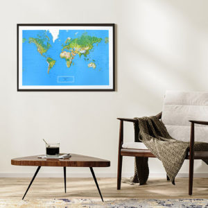
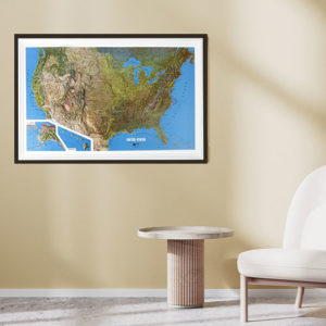
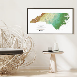
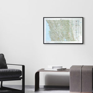
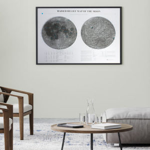
Raised Relief Maps
Hubbard Scientific Raised Relief maps are 3-D maps created by vacuum forming maps onto a mold using heat and air pressure.
Satisfy both your intellectual and artistic appetites with these unique maps. Raised Relief maps from Hubbard Scientific deliver geographic data molded into a touchable three-dimensional form. See and feel the changes in the landscape’s topography. These molded maps allow you fully sense and understand real-world changes in elevation. These raised & tactile maps are educational, aesthetic, and interactive … they literally make you feel something!
Read more on the history of the Hubbard Scientific brand here. Want to see how a flat map becomes a 3D Raised Relief? Check out Map Shop’s complete breakdown on all things Raised Relief here: What You Need to Know About Raised Relief Maps
We offer a custom framing service for all our Raised Relief maps. Please CONTACT US if we can help you find a particular raised relief map since alternate options may be more suitable for your needs, but note that custom raised relief maps are not cost-effective unless high quantities are ordered.
