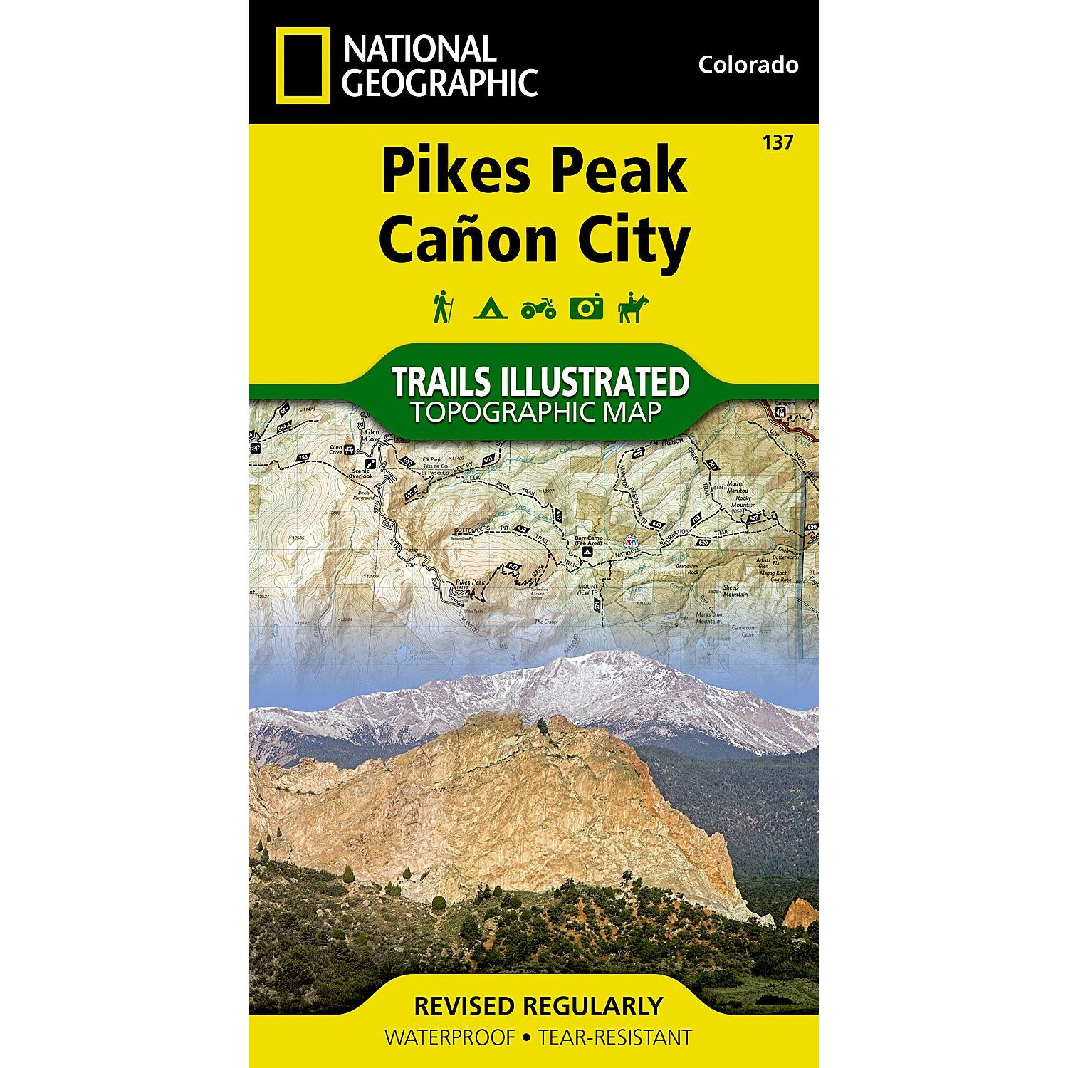
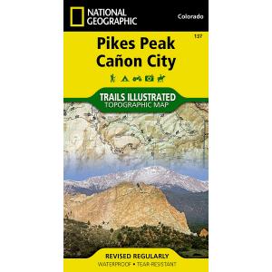
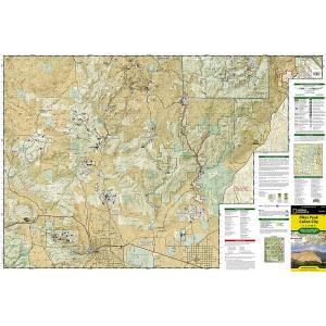
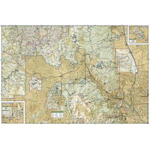
Returns are not accepted on any clearance items. Sales for items on clearance are final.
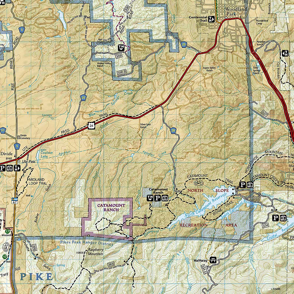
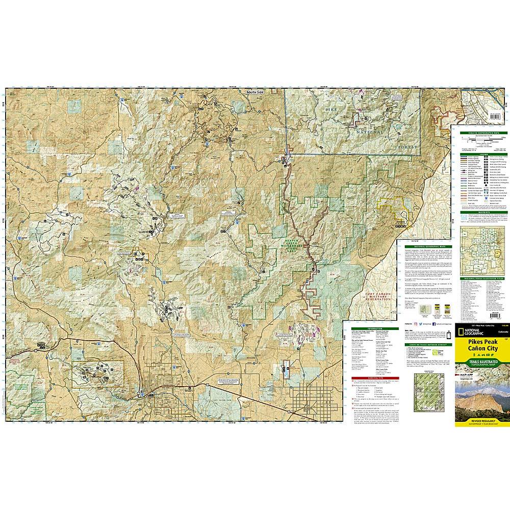
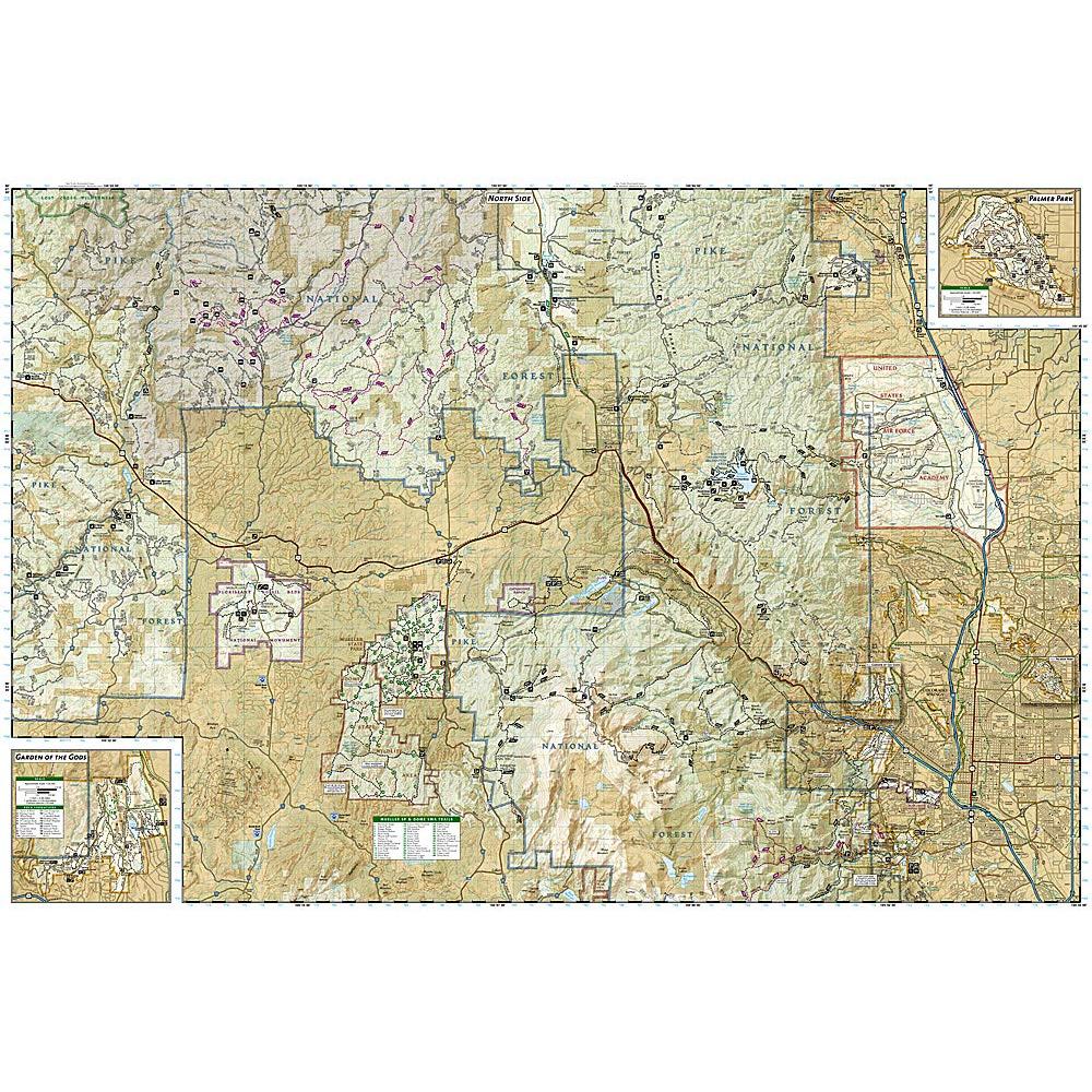
The highest summit in the southern Front Range of the Rocky Mountains, Pikes Peak towers over Colorado Springs like a granite sentinel. Explore this and other geological attractions such as Garden of the Gods, Florrisant Fossil Beds, and the Royal Gorge with National Geographic’s Trails Illustrated map of Pikes Peak, Canon City.
Expertly researched and created in partnership with local land management agencies, this map features key points of interest including Pike National Forest; Arkansas River; Mueller State Park; Dome Rock State Wildlife Area; and Rampart Reservoir and Shelf Road recreation areas. The print version of the map includes detailed insets of Garden of the Gods and Palmer Park.
This map can guide you off the beaten path and back again with miles of mapped trails including mountain bike routes, and snowmobile, ATV, and interpretive trails. Scenic byways are clearly noted for those taking in the scenery by car. Recreation features are clearly marked, including campgrounds, trailheads, fishing and boat access, and cross country ski and climbing areas. The map base includes contour lines and elevations for summits, passes and many lakes.
Every Trails Illustrated map is printed on “Backcountry Tough” waterproof, tear-resistant paper. A full UTM grid is printed on the map to aid with GPS navigation. We love technology and enjoy the convenience of GPS, but you can’t plan a trip on a phone screen and navigation doesn’t work where there’s no cell signal. Start your next trip on the right foot with a high-quality folding travel map. Make the most of your next adventure, even if you lose GPS or cell signals. You’ll always be on the correct route with our folding travel maps. Your adventure starts here!
Coverage Includes
Colorado Springs, Pike National Forest, Pikes Peak, Royal Gorge, Seven Falls.
What is a Trails Illustrated Map?
With more than 250 titles available for America’s favorite outdoor destinations, Trails Illustrated maps are the most trusted and popular recreation maps available. Continually setting the standard for accuracy, each map is crafted in conjunction with local land managers and undergoes rigorous review and enhancement before being printed on waterproof, tear-resistant material. Each Trails Illustrated map contains detailed topographic information, clearly marked trails, recreational points of interest, and navigational aids.
About the Author
Founded in 1915 as the Map Department of the National Geographic Society, National Geographic Maps is responsible for illustrating the world around us through the art and science of mapmaking. Today, National Geographic Maps continues this mission by creating the world’s best wall maps, outdoor recreation maps, travel maps, atlases and globes that inspire people to care about and explore their world.
Back-Orders & Out of Stock Items
If the item is currently out of stock it will ship as soon as we can get it. This will be shown in the “Normally Ships in” section above. If the item is on backorder you will recieve an email with updates as we recieve them. Our goal is to get your products to you a quickly as possible!
Returns are not accepted on any clearance items. Sales for items on clearance are final.