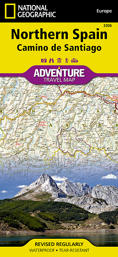
National Geographic – Northern Spain: Camino de Santiago – Adventure Folding Travel Map
$14.95
Published: 2019
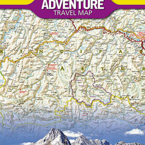
National Geographic’s Northern Spain Adventure Map is designed to meet the unique needs of adventure travelers with its detailed, accurate information and user-friendly design.
Publication: 2019 || Size: 37.75″ x 25.5″
In stock
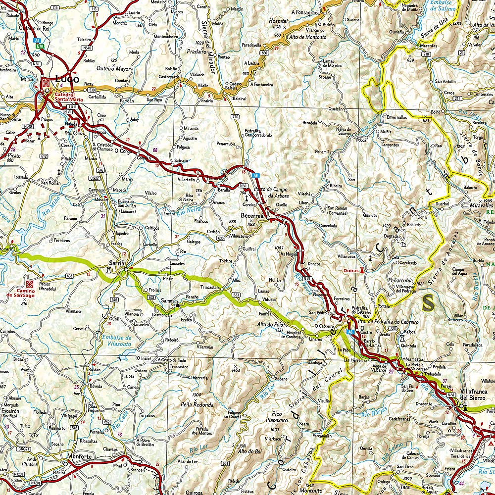
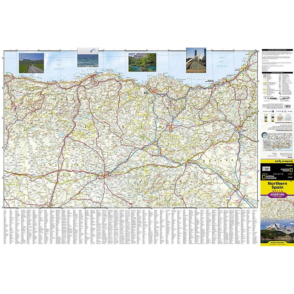
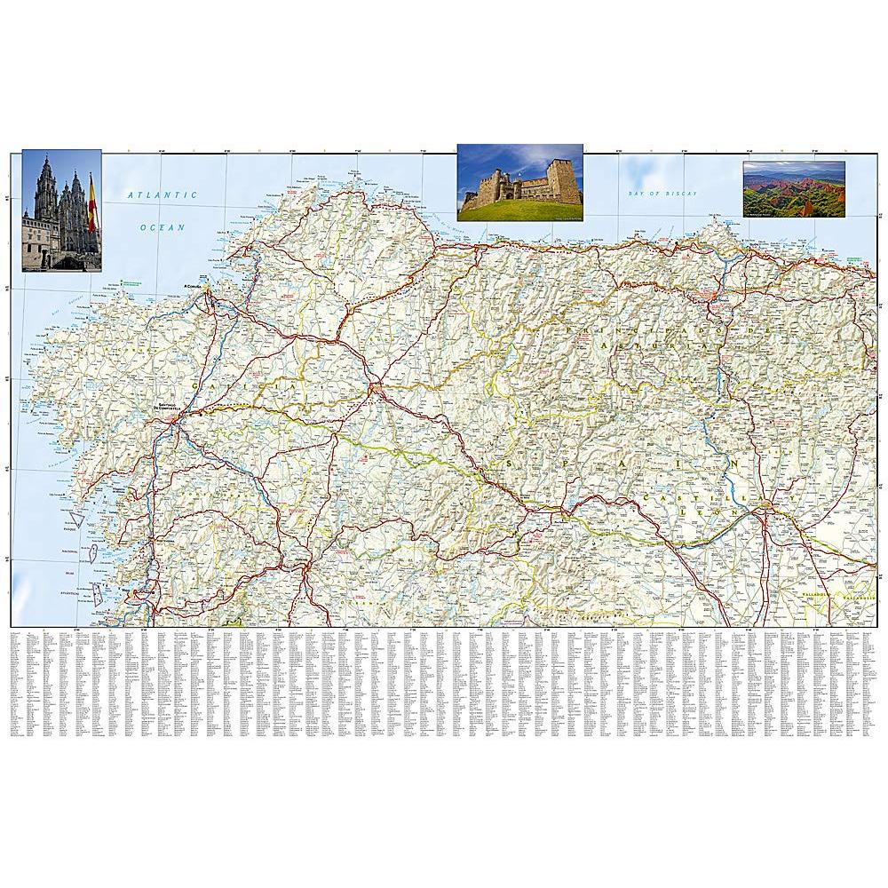
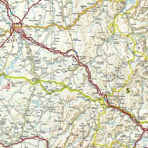
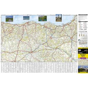
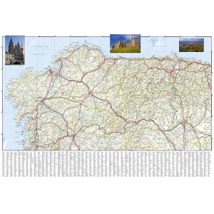
National Geographic’s Northern Spain Adventure Map is designed to meet the unique needs of adventure travelers with its detailed, accurate information and user-friendly design. The map includes the locations of thousands of major cities and towns with an index for easily locating them, plus a clearly marked road network complete with distances and designations for expressways, motorways, and more. St. James Way, one of the most important Christian pilgrimages during medieval times, is noted for travelers seeking to retrace to route to the Cathedral of Santiago de Compostela in Galicia where the remains of the apostle Saint James are believed to be buried. With specialty content to include hundreds of diverse and unique recreational, ecological, cultural, and historical destinations, this map is invaluable to travelers hoping to experience all the history, art, and culture the region has to offer.
The front side of the print map shows the eastern half of Northern Spain from its border with France on the north to the city of Tudela on the south. It continues west to Cangos de Ones and Palencia. The reverse side of the map stretches from Cangos de Ones and Leon to the region’s western Atlantic coast. Lush green meadows, snow-capped mountains, and verdant river valleys set Northern Spain apart from the rest of the country. Its oceanic climate attracts vacationers from other parts of Spain in the summer months who enjoy the cooler weather. Galicia, originally settled by Celts, has its own unique language and its economy depends heavily on fishing. Santiago de Compostela, the capital of Galicia and the third holiest city in Christendom, is a beautifully preserved medieval cathedral town. The Basque Autonomous Community, another ethnically unique region of Northern Spain boasts seaside resorts, spectacular mountain vistas, medieval cathedrals, and extraordinary 20th century architecture. Every Adventure Map is printed on durable synthetic paper, making them waterproof, tear-resistant and tough — capable of withstanding the rigors of international travel.
We love technology and enjoy the convenience of GPS, but you can’t plan a trip on a phone screen and navigation doesn’t work where there’s no cell signal. Start your next trip on the right foot with a high-quality folding travel map. Make the most of your next adventure, even if you lose GPS or cell signals. You’ll always be on the correct route with our folding travel maps. Your adventure starts here!
What is an Adventure Map?
Adventure Maps are the most authoritative maps for touring international destinations. Each waterproof and tear-resistant map provides travelers with the perfect combination of detail and perspective, highlighting points of interest for those venturing outside city centers. From the plains of France to the top of Mt. Everest these maps cover the hottest adventure destinations.
About the Author
Founded in 1915 as the Map Department of the National Geographic Society, National Geographic Maps is responsible for illustrating the world around us through the art and science of mapmaking. Today, National Geographic Maps continues this mission by creating the world’s best wall maps, outdoor recreation maps, travel maps, atlases and globes that inspire people to care about and explore their world.
Back-Orders & Out of Stock Items
If the item is currently out of stock it will ship as soon as we can get it. This will be shown in the “Normally Ships in” section above. If the item is on backorder you will recieve an email with updates as we recieve them. Our goal is to get your products to you a quickly as possible!
Returns
We offer free returns within 30 days for this product. Contact us within 30 days of receiving your product to receive a return authorization number, which you can write on the box and ship back to us. We will issue your return within three days of receiving the product back. **We do not refund the initial shipping charges and you’re responsible for shipping charges to get the product back to us unless we made a mistake in the order.
| Publisher | National Geographic |
|---|---|
| Language | English |
| Print Series | |
| Published | 2019 |

