NOAA Charts
Click an area on the map to search for your chart
If this text continues to show, your browser is not capable of displaying the maps.
$29.99 – $569.99
$29.99 – $559.99
NOAA Charts
$29.99 – $269.99
NOAA Charts
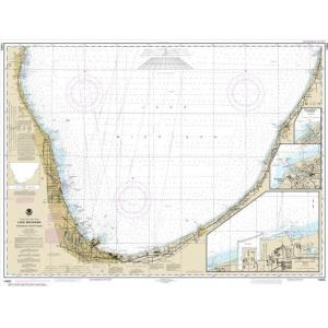
NOAA Chart – Waukegan to South Haven; Michigan City; Burns International Harbor; New Buffalo – 14905
$29.99 – $579.99
$29.99 – $279.99
$29.99 – $569.99
NOAA Charts
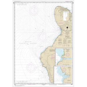
NOAA Chart – West Coast of Hawaii Cook Point to Upolu Point; Keauhou Bay; Honokohau Harbor – 19327
$29.99 – $579.99
$29.99 – $539.99
NOAA Charts
$29.99 – $579.99
$29.99 – $579.99
$29.99 – $579.99
$29.99 – $569.99
NOAA Charts
$29.99 – $519.99
$29.99 – $549.99
$29.99 – $579.99
NOAA Charts
$29.99 – $569.99
NOAA Charts
$29.99 – $279.99
NOAA Charts
$29.99 – $529.99
NOAA Charts
$29.99 – $569.99
$29.99 – $289.99
NOAA Charts
$29.99 – $559.99
NOAA Charts
$29.99 – $559.99
$29.99 – $309.99

