NOAA Charts
Click an area on the map to search for your chart
If this text continues to show, your browser is not capable of displaying the maps.
$29.99 – $559.99
$29.99 – $559.99
$29.99 – $289.99
NOAA Charts
$29.99 – $569.99
$29.99 – $569.99
$29.99 – $539.99
$29.99 – $769.99
$29.99 – $279.99
$29.99 – $579.99
$29.99 – $589.99
NOAA Charts
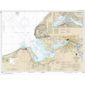
NOAA Chart – St. Marys River – Head of Lake Nicolet to Whitefish Bay; Sault Ste. Marie – 14884
$29.99 – $569.99
$29.99 – $579.99
$29.99 – $559.99
$29.99 – $299.99
$29.99 – $279.99
$29.99 – $569.99
$29.99 – $559.99
$29.99 – $569.99
$29.99 – $579.99
$29.99 – $559.99
$29.99 – $579.99
$29.99 – $569.99
$29.99 – $579.99
$29.99 – $569.99

