NOAA Charts
Click an area on the map to search for your chart
If this text continues to show, your browser is not capable of displaying the maps.
$29.99 – $549.99
NOAA Charts
$29.99 – $269.99
$29.99 – $569.99
NOAA Charts
$29.99 – $539.99
$29.99 – $579.99
$29.99 – $569.99
$29.99 – $539.99
$29.99 – $559.99
NOAA Charts
$29.99 – $559.99
$29.99 – $569.99
NOAA Charts
$29.99 – $549.99
$29.99 – $579.99
$29.99 – $279.99
NOAA Charts
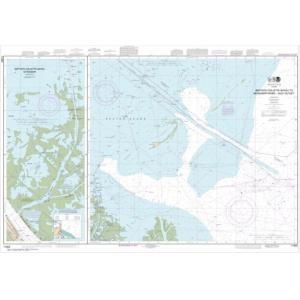
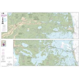
NOAA Chart – Barataria and Bayou Lafourche Waterways Intracoastal Waterway to Gulf of Mexico – 11365
$29.99 – $779.99
$29.99 – $579.99
NOAA Charts
$29.99 – $309.99
NOAA Charts
$29.99 – $289.99
NOAA Charts
$29.99 – $569.99
NOAA Charts
$29.99 – $199.99
NOAA Charts
$29.99 – $569.99
$29.99 – $549.99
NOAA Charts
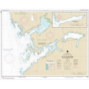
NOAA Chart – Bay of Pillars and Rowan Bay, Chatham Strait; Washington Bay, Chatham Strait – 17370
$29.99 – $559.99
NOAA Charts
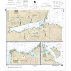
NOAA Chart – Bays and Anchorages, Kodiak Island Karluk Anchorage; Larsen Bay; Uyak Anchorage – 16599
$29.99 – $269.99
$29.99 – $569.99

