NOAA Charts
Click an area on the map to search for your chart
If this text continues to show, your browser is not capable of displaying the maps.
$29.99 – $579.99
$29.99 – $569.99
$29.99 – $269.99
NOAA Charts
$29.99 – $579.99
$29.99 – $579.99
$29.99 – $549.99
$29.99 – $559.99
$29.99 – $559.99
NOAA Charts
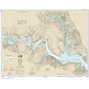
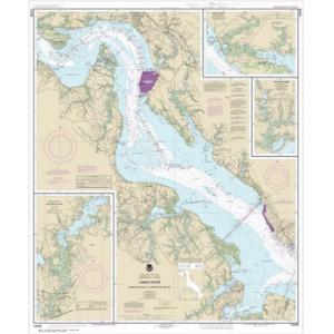
NOAA Chart – James River Newport News to Jamestown Island; Back River and College Creek – 12248
$29.99 – $559.99
$29.99 – $579.99
$29.99 – $569.99
$29.99 – $549.99
NOAA Charts
$29.99 – $209.99
NOAA Charts
$29.99 – $569.99
NOAA Charts
$29.99 – $549.99
NOAA Charts
NOAA Chart – Kasaan Bay, Clarence Strait; Hollis Anchorage, eastern part; Lyman Anchorage – 17426
$29.99 – $569.99
$29.99 – $529.99
NOAA Charts
$29.99 – $289.99
$29.99 – $569.99
$29.99 – $299.99
NOAA Charts
NOAA Chart – Keku Strait-Monte Carlo Island to Entrance Island; The Summit; Devils Elbow – 17372
$29.99 – $559.99
$29.99 – $599.99
$29.99 – $579.99
$29.99 – $529.99

