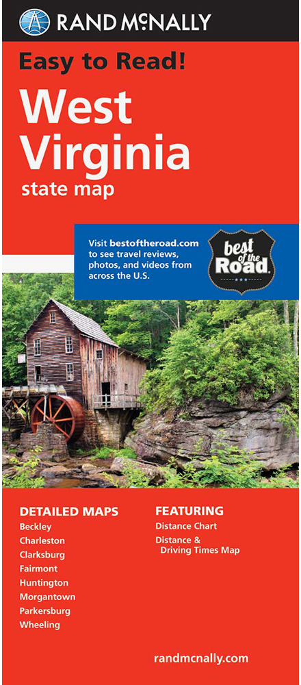
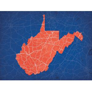
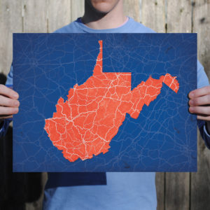
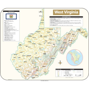
West Virginia Maps
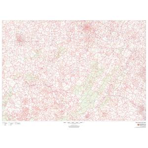
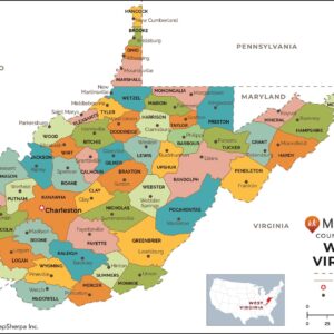
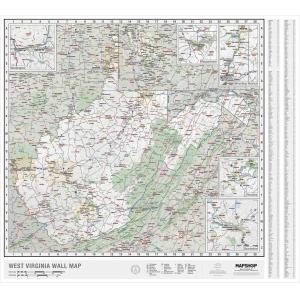
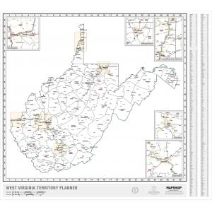
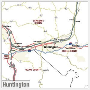
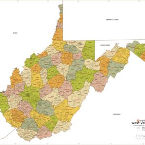
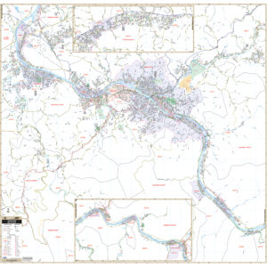
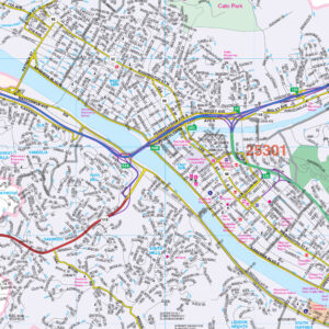
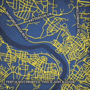
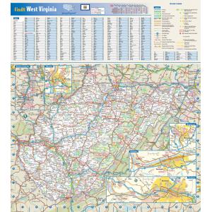
West Virginia became a state following the Wheeling Conventions of 1861, in which delegates from 50 northwestern counties of Virginia decided to break away from Virginia during the American Civil War. The new state was admitted to the Union on June 20, 1863, and was a key Civil War border state. West Virginia was the only state to form by separating from a Confederate state and was one of two states formed during the American Civil War (the other being Nevada, which separated from Utah Territory). This page may not include all the maps we carry for the state of West Virginia but these are some of the more popular maps. Please click here to search for the city or region that’s most important to you.
All Products
Maps by State
All Products
All Products
Maps by State
All Products
All Products
City Prints Maps
All Products
All Products
All Products
College Campus Maps
All Products

