New York Maps
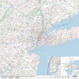
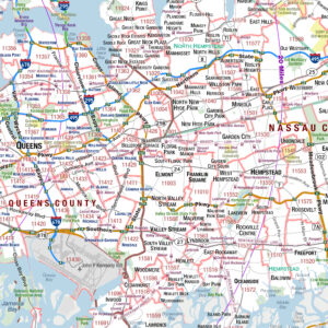
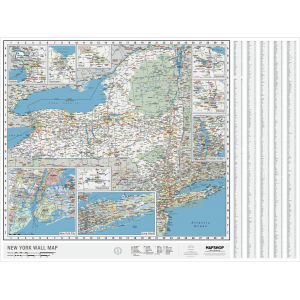
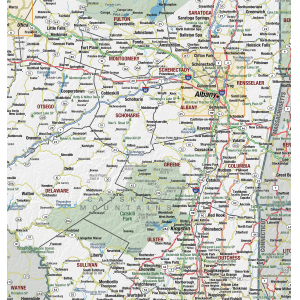
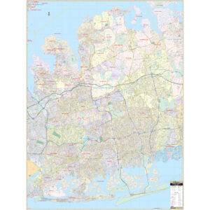
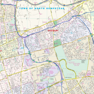
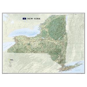
New York is a state in the Northeastern and Mid-Atlantic regions of the United States. New York is the 27th-most extensive, the fourth-most populous, and the seventh-most densely populated of the 50 United States. New York is bordered by New Jersey and Pennsylvania to the south and Connecticut, Massachusetts, and Vermont to the east. The state has a maritime border with Rhode Island east of Long Island, as well as an international border with the Canadian provinces of Quebec to the north and Ontario to the west and north. The state of New York is often referred to as New York State or the State of New York to distinguish it from New York City, the state’s most populous city and its economic hub. This page may not include all the maps we carry for the state of New York but these are some of the more popular maps. Please click here to search for the city or region that’s most important to you.
Maps by State
Maps by State
City & County Maps
City & County Maps
All Products
All Products
All Products
U.S. City Maps
All Products
U.S. City Maps
All Products
All Products
U.S. City Maps
College Campus Maps
Columbia University in the City of New York Campus Map Art by City Prints
City Prints Maps
All Products
All Products
All Products
All Products
City Prints Maps
City Prints Maps

