New Jersey Maps
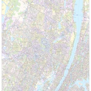
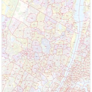
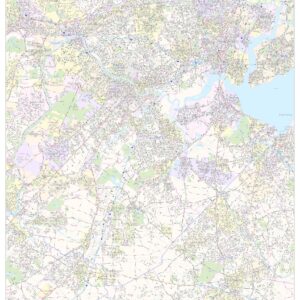
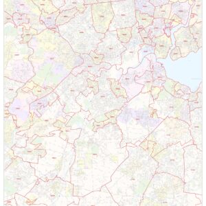
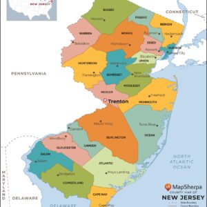
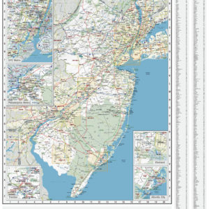
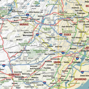
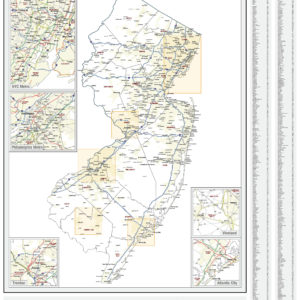
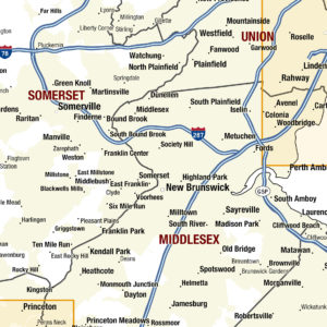
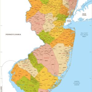
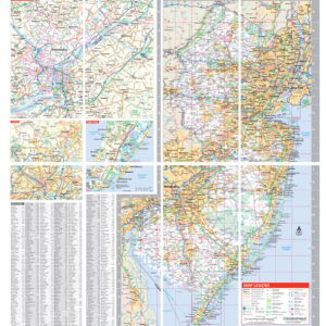
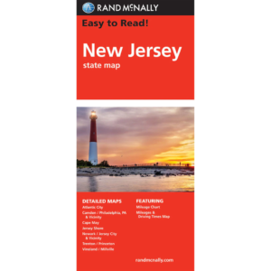
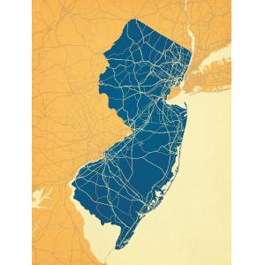
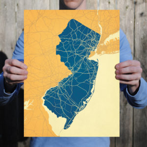
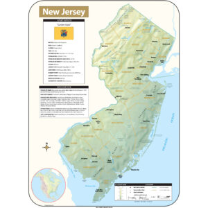
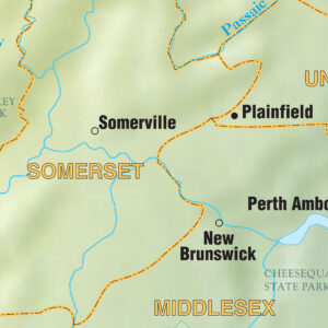
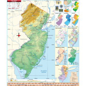
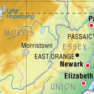
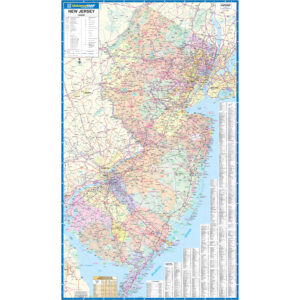
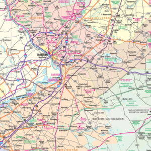
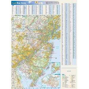
New Jersey is a state in the Northeastern and Middle Atlantic regions of the United States. It is bordered on the north and east by New York, on the southeast and south by the Atlantic Ocean, on the west by Pennsylvania, and on the southwest by Delaware. New Jersey is the fourth-smallest state, but the 11th-most populous and the most densely populated of the 50 United States. New Jersey lies entirely within the combined statistical areas of New York City and Philadelphia. It is also the second-wealthiest U.S. state by median household income, according to the 2008–2012 American Community Survey. This page may not include all the maps we carry for the state of New Jersey but these are some of the more popular maps. Please click here to search for the city or region that’s most important to you.
Maps by State
Maps by State
Maps by State
Maps by State
Maps by State
All Products
All Products
Maps by State
All Products
All Products
All Products
All Products
All Products
College Campus Maps
Rutgers, The State University of New Jersey Campus Map Art by City Prints

