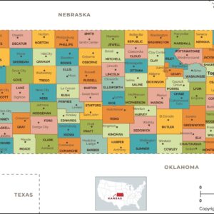
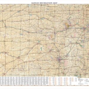
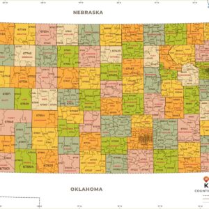
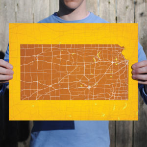
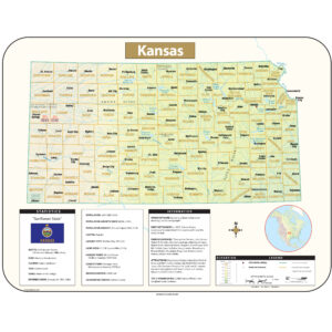
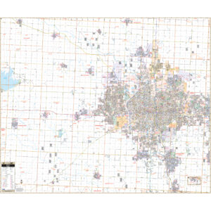
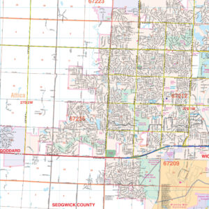
Kansas Maps
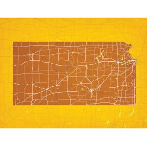
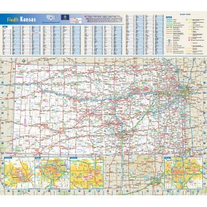
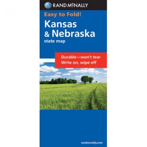
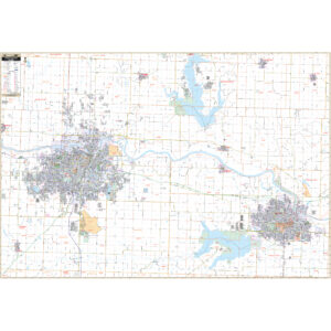
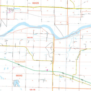
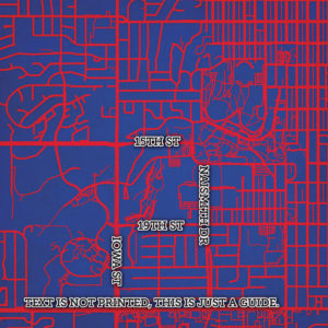
Kansas was admitted to the United States as a slave-free state on January 29, 1861, making it the 34th state to enter the Union. By that time the violence in Kansas had largely subsided, but during the Civil War, on August 21, 1863, William Quantrill led several hundred men on a raid into Lawrence, destroying much of the city and killing nearly 200 people. He was roundly condemned by both the conventional Confederate military and the partisan rangers commissioned by the Missouri legislature. His application to that body for a commission was flatly rejected due to his pre-war criminal record. This page may not include all the maps we carry for the state of Kansas but these are some of the more popular maps. Please click here to search for the city or region that’s most important to you.
Maps by State
Maps by State
Maps by State
All Products
City Prints Maps
U.S. City Maps
City Prints Maps
All Products
All Products
All Products
College Campus Maps
All Products
All Products
All Products
College Campus Maps
City Prints Maps
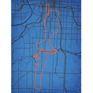
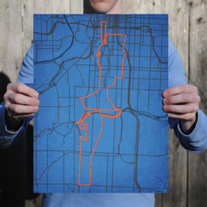
Waddell & Reed Kansas City Marathon Course Map Art by City Prints
All Products
All Products

