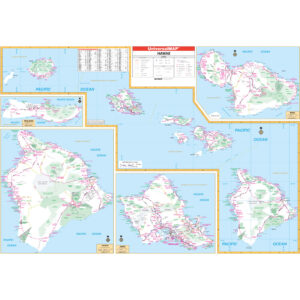
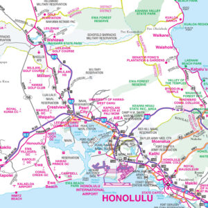
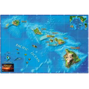
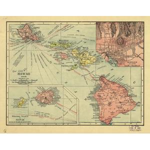
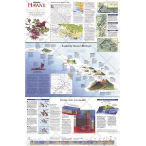
Hawaii Maps
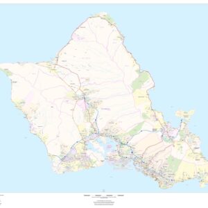
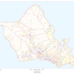
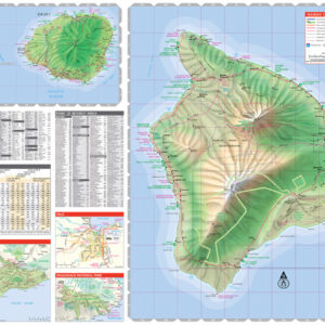
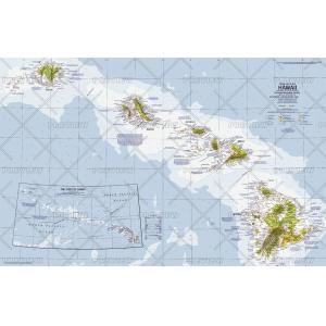
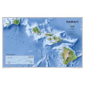
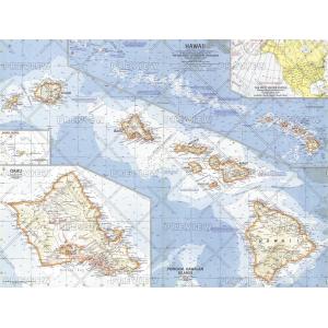
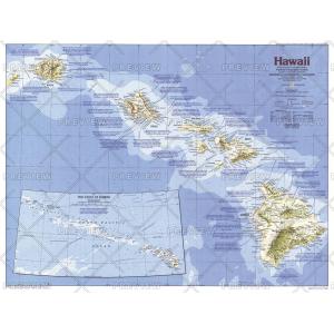
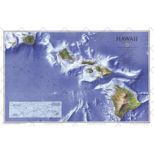
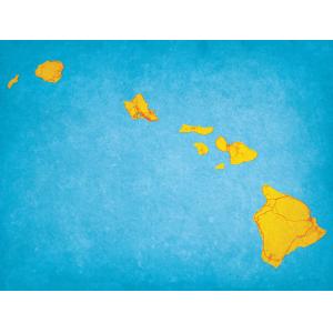
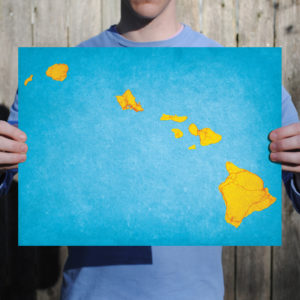
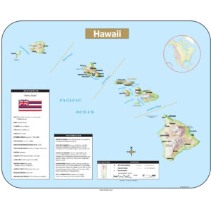
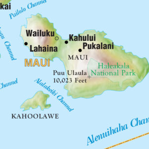
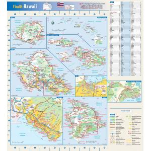
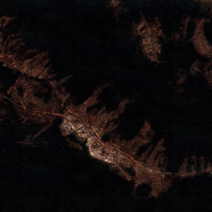
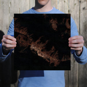
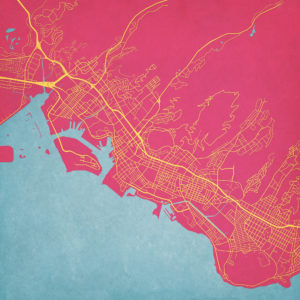
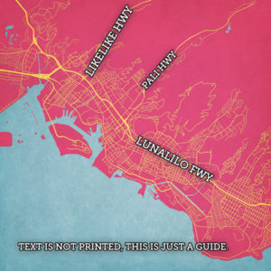
Hawaii is the 8th-smallest and the 11th-least populous, but the 13th-most densely populated of the fifty U.S. states. It is the only state with an Asian plurality. The state’s coastline is about 750 miles (1,210 km) long, the fourth longest in the U.S. after the coastlines of Alaska, Florida and California. This page may not include all the maps we carry for the state of Hawaii but these are some of the more popular maps. Please click here to search for the city or region that’s most important to you.
Maps by State
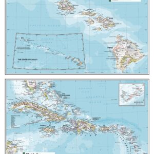
Hawai’i, West Idies and Bermuda – Atlas of the World, 11th Edition by National Geographic
Maps by State
Maps by State
Folding Travel Maps - United States
All Products
All Products
All Products
All Products
All Products
All Products
All Products
All Products
All Products
All Products
All Products
City Prints Maps
U.S. City Maps

