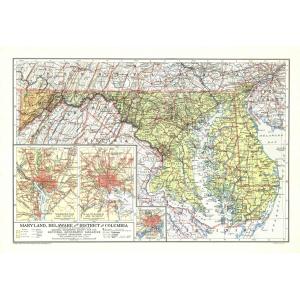
Delaware Maps
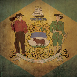
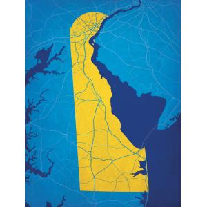
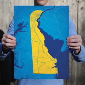
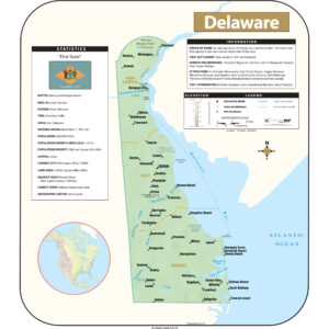
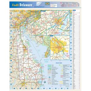
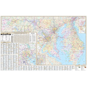
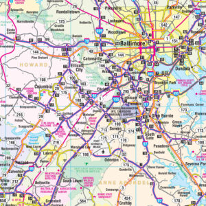
Delaware is in the northeastern portion of the Delmarva Peninsula and is the second smallest, the sixth least populous, but the sixth most densely populated of the 50 United States. Delaware is divided into three counties, the lowest number of counties of any state. This page may not include all the maps we carry for the state of Delaware but these are some of the more popular maps. Please click here to search for the city or region that’s most important to you.
Folding Travel Maps - United States
Rand McNally – Delaware/Maryland, Easy to Fold – Folding Travel Map
Folding Travel Maps - United States
Rand McNally – Delaware/Maryland, Easy to Read – Folding Travel Map
City Prints Maps
All Products
All Products
All Products
All Products
All Products
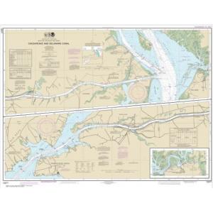
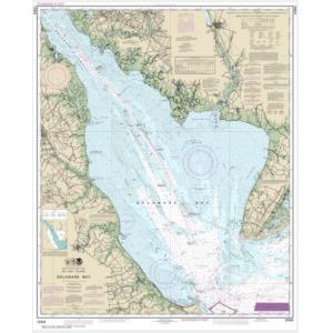
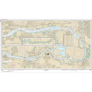
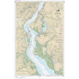
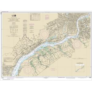
NOAA Charts
College Campus Maps

