
Japan Executive Wall Map by National Geographic
$59.99 – $289.99
Size: 25" x 29.25"
Publisher: National Geographic
Published: 2023
Printed By: MapShop
Published: 2023
Printed By: MapShop
$59.99 – $289.99
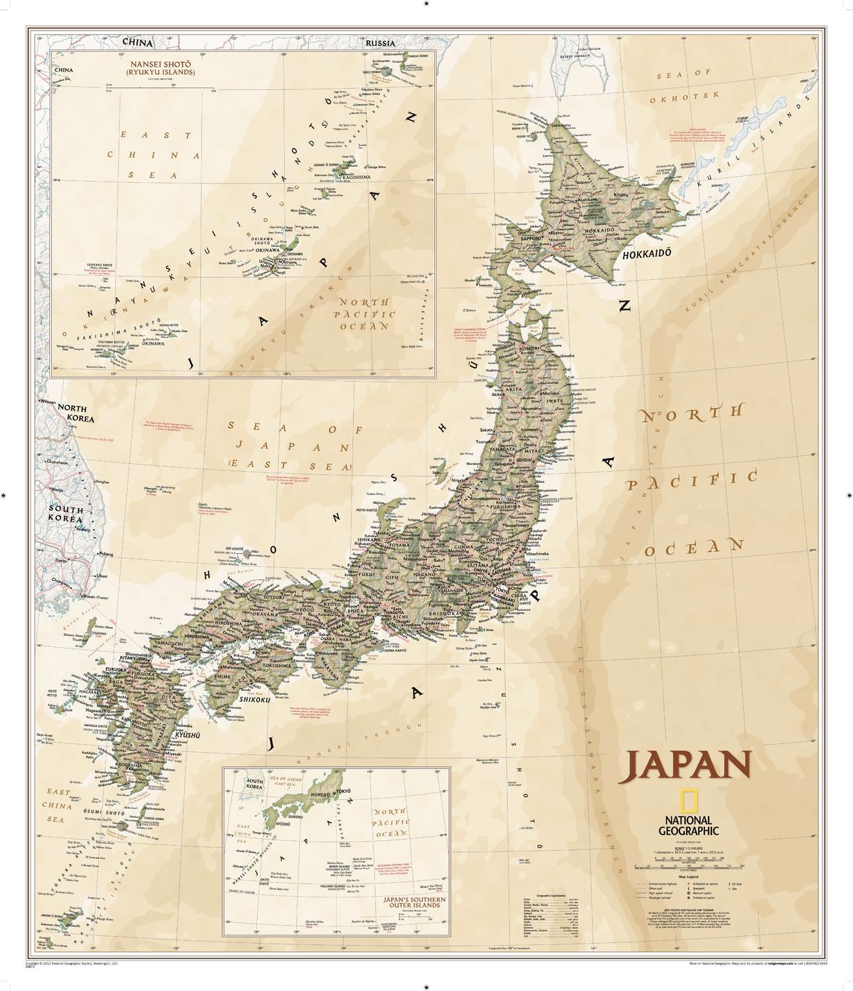
National Geographic's Executive style political map of Japan features thousands of place names, accurate boundaries, national parks, and major infrastructure networks such as roads, highways, airports, and railroads. Inset maps provide detail of Japan's Southern Outer Islands and Nansei Shoto (Ryukyu Islands). Information about the 2011 Tohoku earthquake and tsunami is included as well. This attractive map is rendered with an antique color palette, stunning shaded relief, and the cartographic accuracy National Geographic is renowned for.
| Size | 25" x 29.25" |
|---|---|
| Publisher | National Geographic |
| Map Type | Wall Map |
| Printed By | MapShop |
| Published | 2023 |

