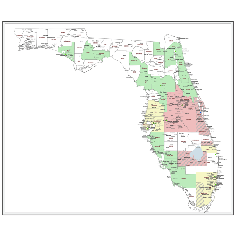
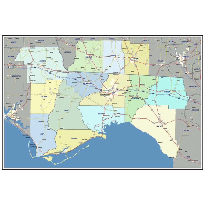
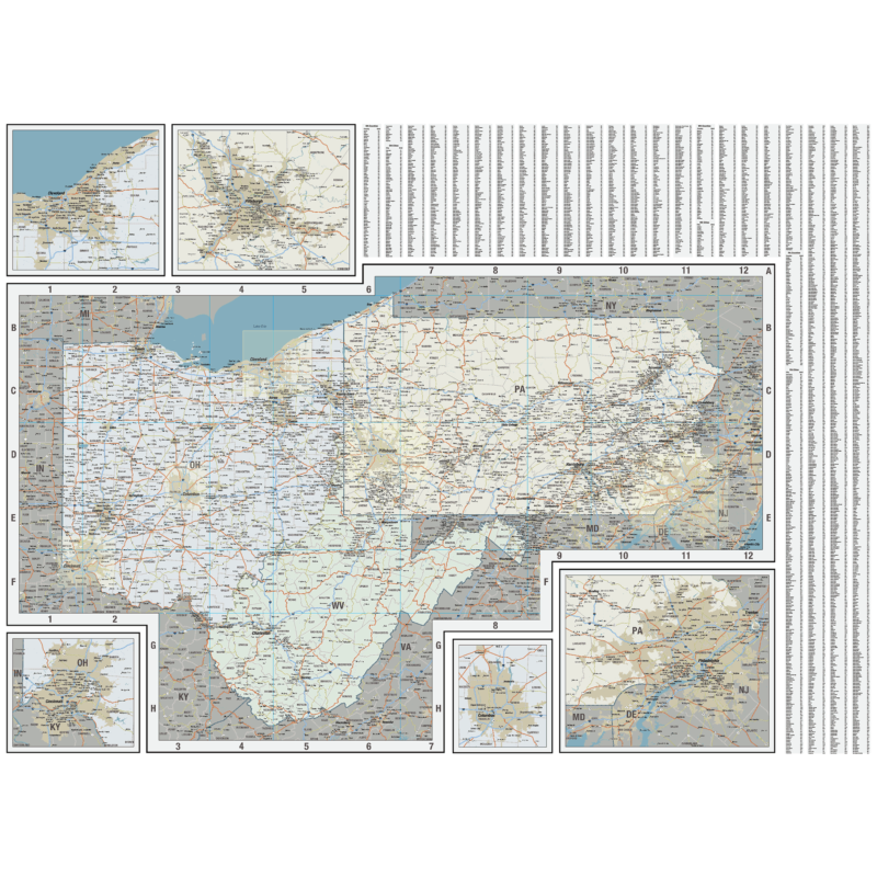
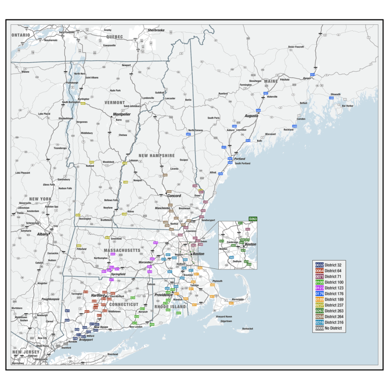
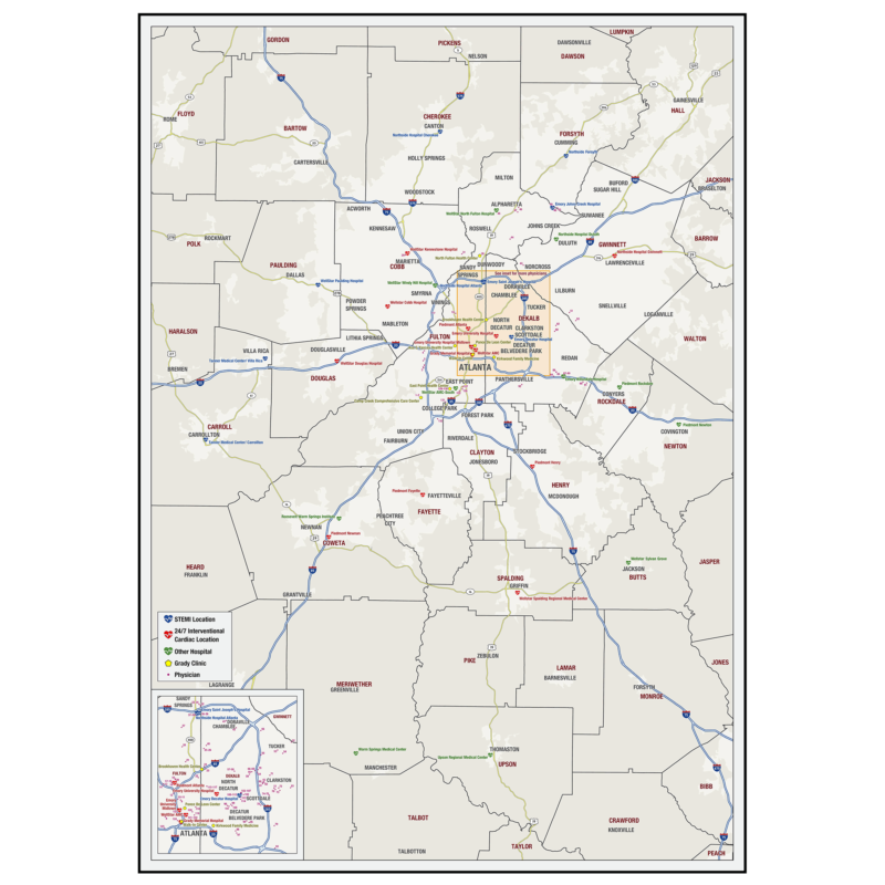
SERVICE AREA Map
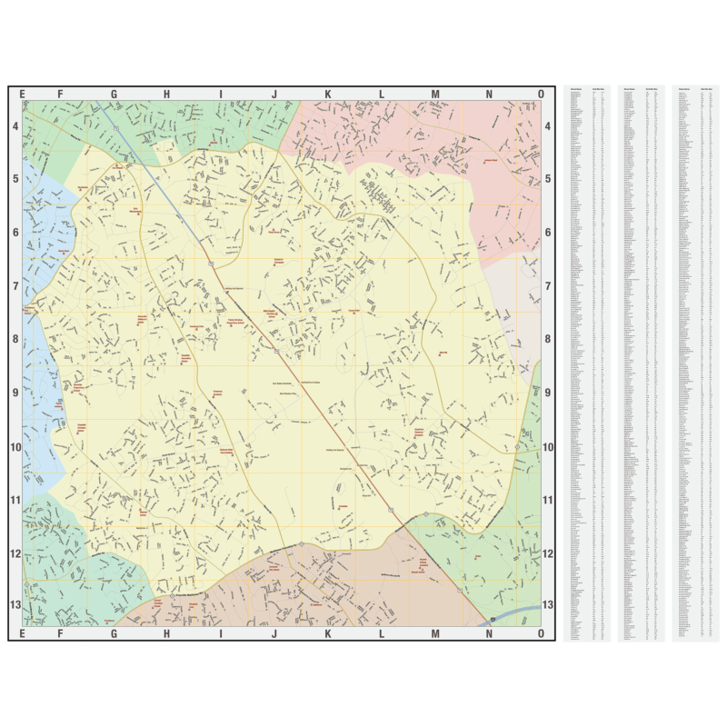
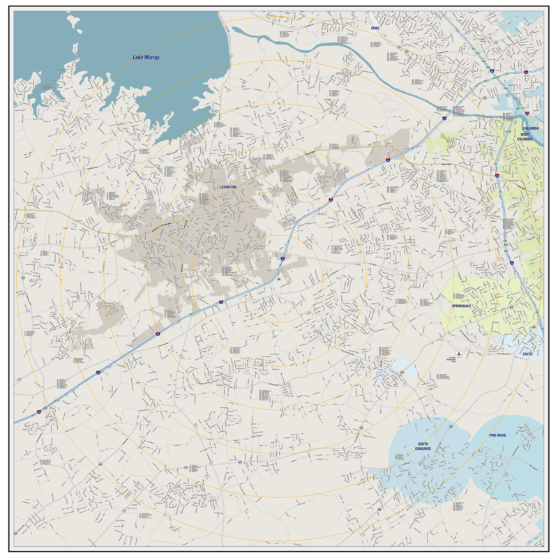
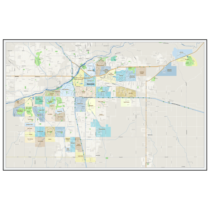
A service area map is similar to the regional map, but with the service area distinguished from the rest of the map.
This can show a service area as one single color or multiple colors. It can also show areas like sales territories, business districts, service zones, or any other areas that are separate from each other. Common methods used to determine service areas are by counties, by zip codes or by census tracts. These types of maps can help with planning and strategy for a wide range of applications.
More Information


