National Geographic – Colorado Backpack Loops North – Trails Illustrated Folding Travel Map
$14.95 Original price was: $14.95.$7.98Current price is: $7.98.
Published: 2018
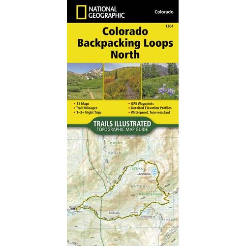
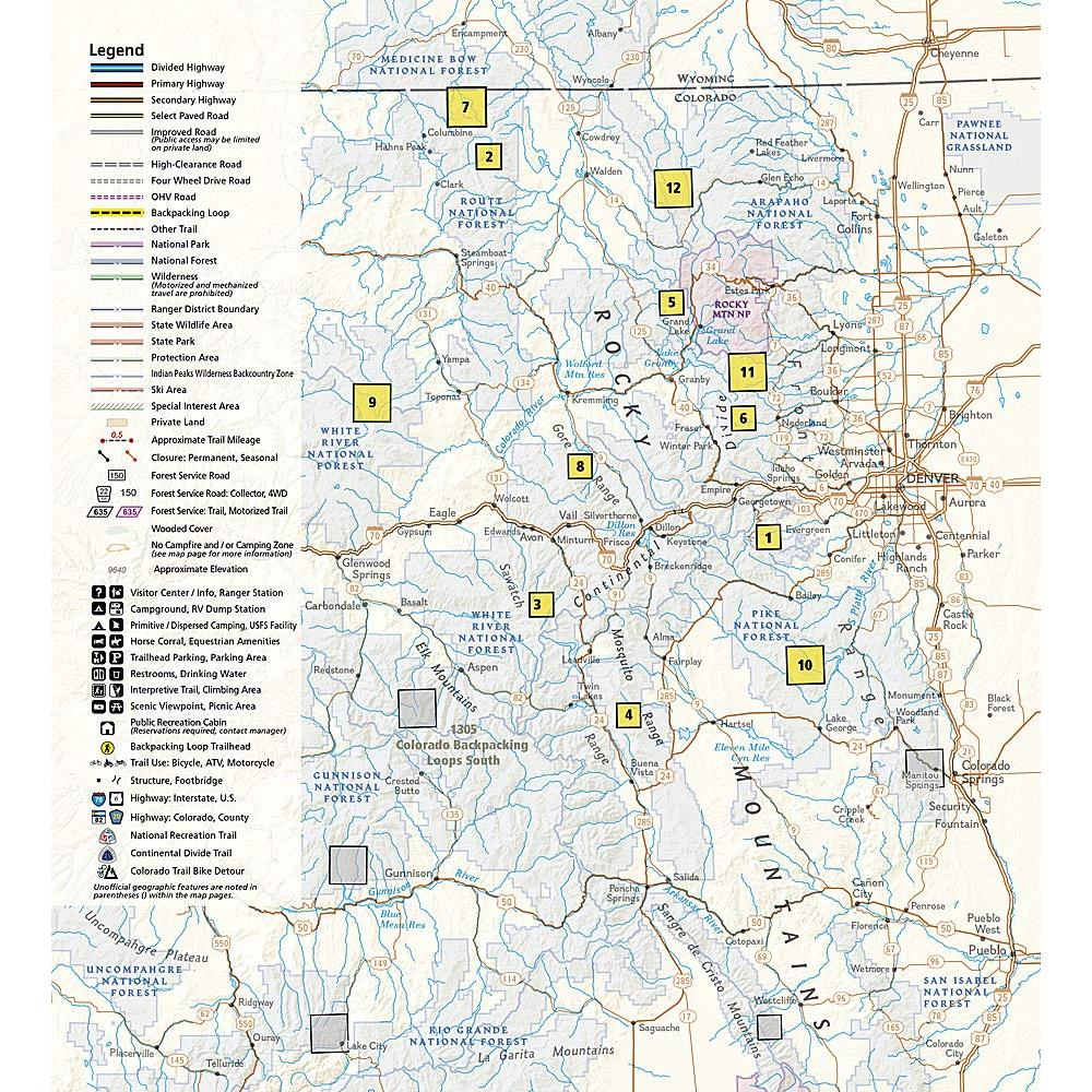
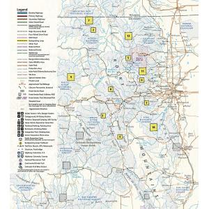
Colorado is renowned for its outdoor recreational opportunities. One of these pastimes is, of course, backcountry hiking. The Colorado Backpack Loops North Topographic Map Guide covers a dozen backpack loops selected by National Geographic staff for their diversity, remoteness, and inspiring vistas.
Publication: 2018 || Size: 4.25″ x 9.25″ (Folded)
In stock
Returns are not accepted on any clearance items. Sales for items on clearance are final.
Colorado is renowned for its outdoor recreational opportunities. One of these pastimes is, of course, backcountry hiking. The Colorado Backpack Loops North Topographic Map Guide covers a dozen backpack loops selected by National Geographic staff for their diversity, remoteness, and inspiring vistas.
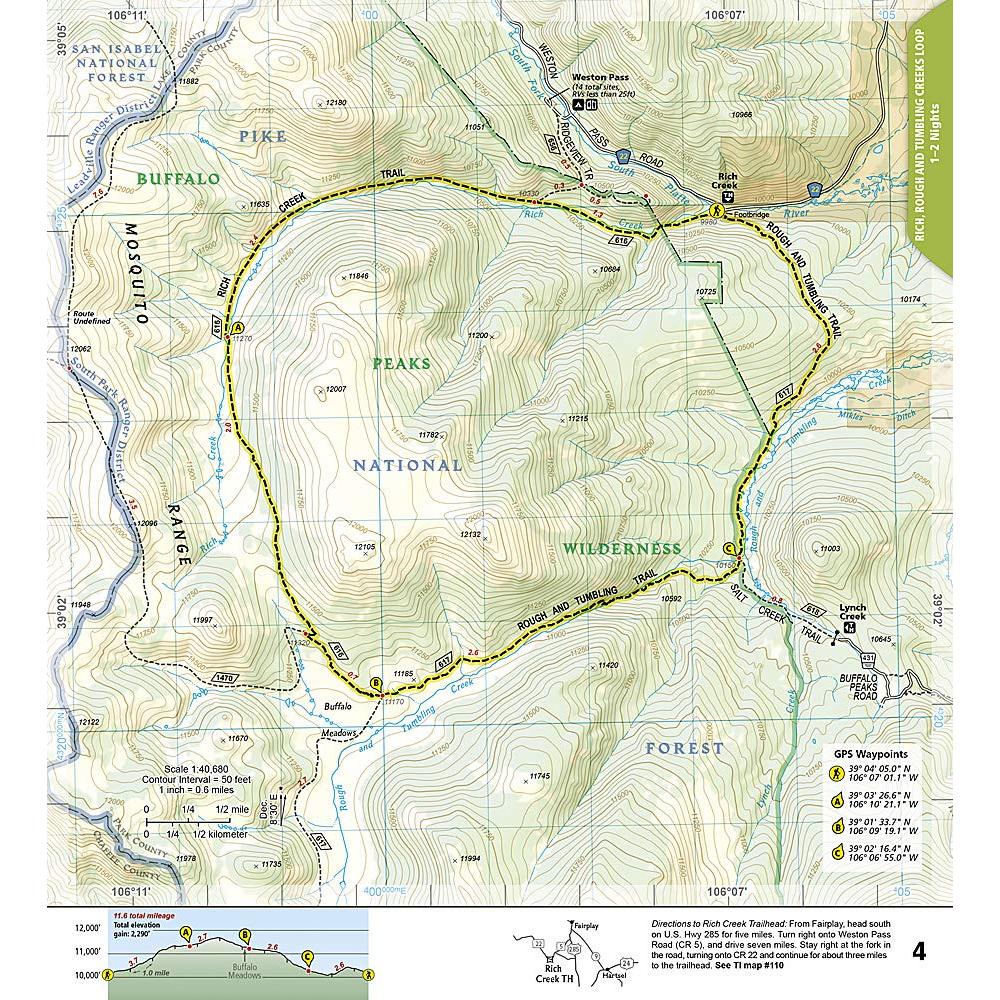
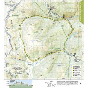
Each page of the Topographic Map Guide includes a detailed map of the trail with directions to the trailhead from the nearest major town as well as a trail profile with mileages to foreshadow the elevation changes that will be met along the way. GPS coordinates are also provided for strategic points along the trail to help with navigation.
The trails are organized by the number of nights backpackers can expect to be in the backcountry, from one to more than three. They range from 8 to 25 miles long with elevation gains from 2,000 to over 7,000 feet. Written descriptions of each trail give an overview of the natural features that will be encountered along the way as well as the length, total elevation gain, and nearest town to each trailhead.
This Topographic Map Guide will get you into the wild lands of northern Colorado that most hikers in the country can only dream about. More convenient and easier to use than folded maps, but just as compact and lightweight, National Geographic’s Topographic Map Guide booklets are printed on “Backcountry Tough” waterproof, tear-resistant paper with stainless steel staples.
A full UTM grid is printed on the map to aid with GPS navigation. We love technology and enjoy the convenience of GPS, but you can’t plan a trip on a phone screen and navigation doesn’t work where there’s no cell signal. Start your next trip on the right foot with a high-quality folding travel map. Make the most of your next adventure, even if you lose GPS or cell signals. You’ll always be on the correct route with our folding travel maps. Your adventure starts here!
What is a Topographic Guide?
The Topographic Map Guides are user-friendly and light-weight small book format maps printed on rugged waterproof, tear-resistant paper. They are laser focused to provide the tools needed for trail navigation. Each page includes a detailed topographic map and is centered on the trail. Along the bottom of the page is a trail profile that shows the distance between shelters, camping areas, and trail access points. The map and trail profile provide a step by step visual guide to hiking the trail, mile by rugged mile. The front pages of the printed Topographic Map Guide include resupply locations, key points of interest, safety guidelines, history, and everything you need to plan a safe and memorable hiking trip.
About the Author
Founded in 1915 as the Map Department of the National Geographic Society, National Geographic Maps is responsible for illustrating the world around us through the art and science of mapmaking. Today, National Geographic Maps continues this mission by creating the world’s best wall maps, outdoor recreation maps, travel maps, atlases and globes that inspire people to care about and explore their world.
Back-Orders & Out of Stock Items
If the item is currently out of stock it will ship as soon as we can get it. This will be shown in the “Normally Ships in” section above. If the item is on backorder you will recieve an email with updates as we recieve them. Our goal is to get your products to you a quickly as possible!
Returns are not accepted on any clearance items. Sales for items on clearance are final.
| Publisher | National Geographic |
|---|---|
| Language | English |
| Published | 2018 |
| Print Series | |
| Map Scale | 1 : 63,360 |

