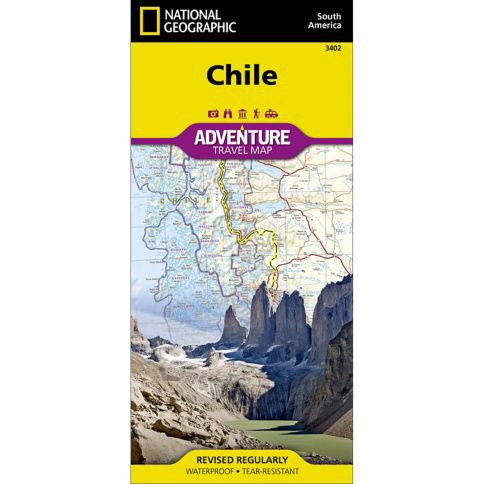


National Geographic – Chile – Adventure Folding Travel Map
$14.95
National Geographic’s Chile Adventure Map is the perfect travel companion for adventure travelers exploring this long and narrow coastal country occupying much of South America’s Pacific coastline.
Publication: 2019 || Size: 37.75″ x 25.5″
In stock
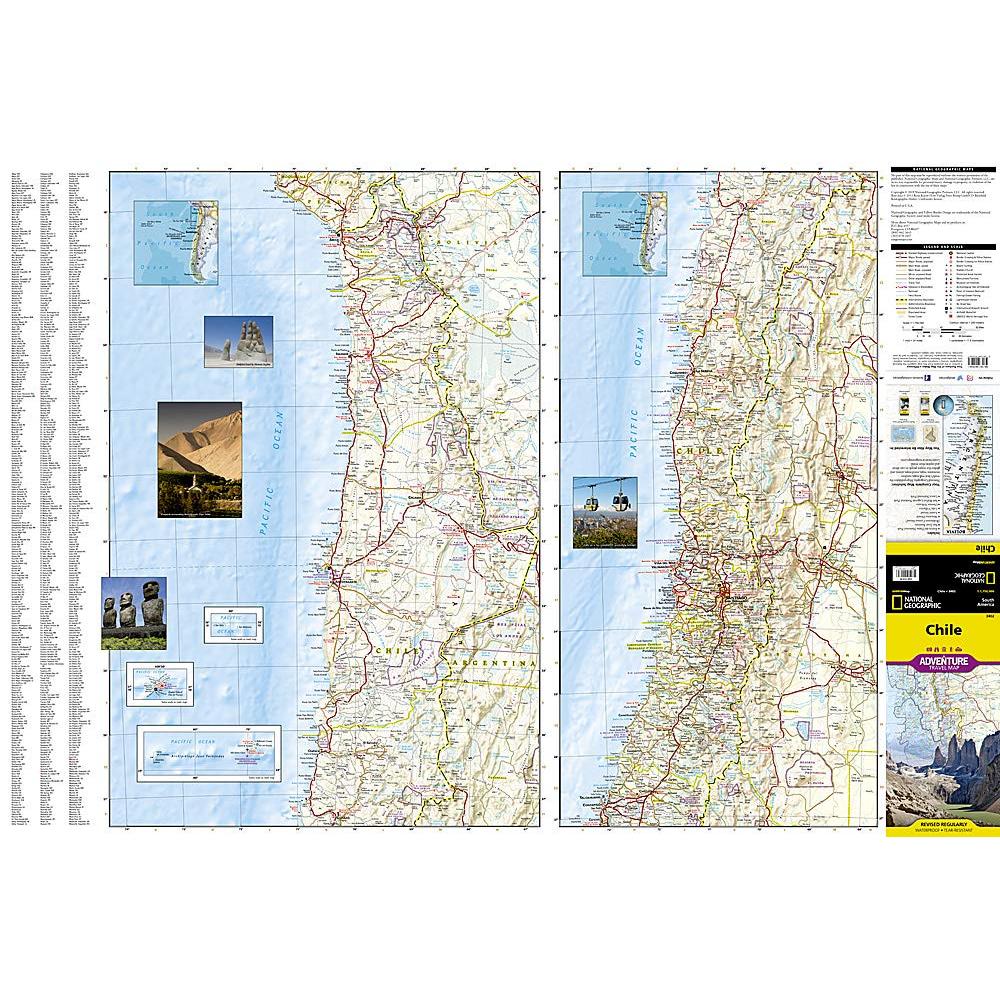
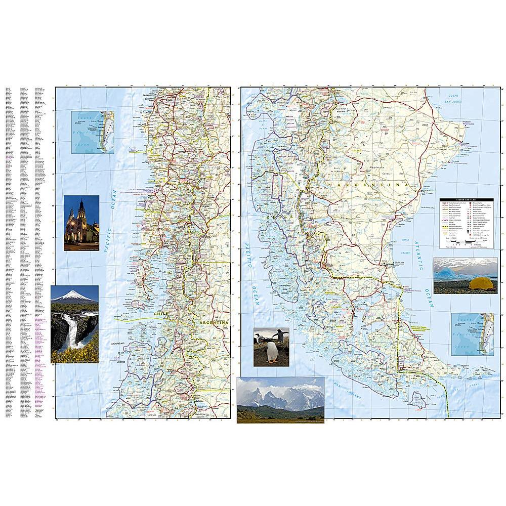
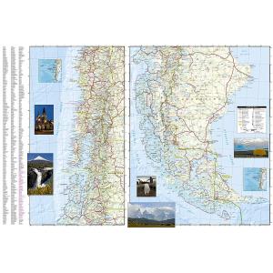
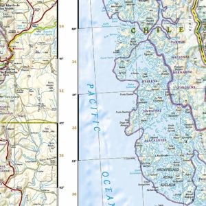
National Geographic’s Chile Adventure Map is the perfect travel companion for adventure travelers exploring this long and narrow coastal country occupying much of South America’s Pacific coastline. Expertly researched, the map combines unparalleled detail with a user-friendly design, including a handy index of towns, cities and National Parks and Reserves, to help locate them quickly, as well as a clearly marked road network of highways, major and minor roads, and unpaved roads, labeled with distances. In addition, hundreds of well-known and off the beaten path cultural, historical and recreational points of interest are highlighted, including UNESCO World Heritage Sites, archeological sites, beaches, lighthouses, monuments, churches, spas and areas for skiing, fishing and surfing. Outdoor adventurers will find mapped hiking trails along with such topographic features as contour lines, elevations and labeled peaks. Every Adventure Map is printed on durable synthetic paper, making them waterproof, tear-resistant and tough — capable of withstanding the rigors of international travel.
We love technology and enjoy the convenience of GPS, but you can’t plan a trip on a phone screen and navigation doesn’t work where there’s no cell signal. Start your next trip on the right foot with a high-quality folding travel map. Make the most of your next adventure, even if you lose GPS or cell signals. You’ll always be on the correct route with our folding travel maps. Your adventure starts here!
Coverage Includes
The map conveniently covers the country in four sections: from its northern borders with Peru and Bolivia to the city of Copiapo; the next section continues south, through the capital of Santiago, to Concepcion; then into Patagonia and the city of Coihaique, the Chonos Archipelago and Moraleda Channel; finally to the southernmost part of the country with its National Parks and Preserves, including Alberto de Agostini National Park. The long border with Argentia is shown with border crossings. Inset maps cover Easter Island and the Juan Fernandez Islands. This unique map, with its abundance of specialized content. compliments any guidebook.
What is an Adventure Map?
Adventure Maps are the most authoritative maps for touring international destinations. Each waterproof and tear-resistant map provides travelers with the perfect combination of detail and perspective, highlighting points of interest for those venturing outside city centers. From the plains of France to the top of Mt. Everest these maps cover the hottest adventure destinations.
About the Author
Founded in 1915 as the Map Department of the National Geographic Society, National Geographic Maps is responsible for illustrating the world around us through the art and science of mapmaking. Today, National Geographic Maps continues this mission by creating the world’s best wall maps, outdoor recreation maps, travel maps, atlases and globes that inspire people to care about and explore their world.
Back-Orders & Out-of-Stock Items
If an item is out of stock, it will ship as soon as it becomes available. The expected timeframe is shown in the “Normally Ships in” section below the Add to Cart button. If your order is on backorder, you will receive email updates as we get more information. Our goal is always to deliver your products as quickly as possible.
Returns
We accept free returns within 30 days of delivery. To start a return, please contact us within 30 days to receive a return authorization number. Once we receive the return, we will issue your refund within three business days. Please note: original shipping charges are non-refundable and return shipping costs are your responsibility unless the error was ours.
Returns are not accepted on clearance items. All clearance sales are final.
| Publisher | National Geographic |
|---|---|
| Language | English |
| Print Series | |
| Published | 2019 |