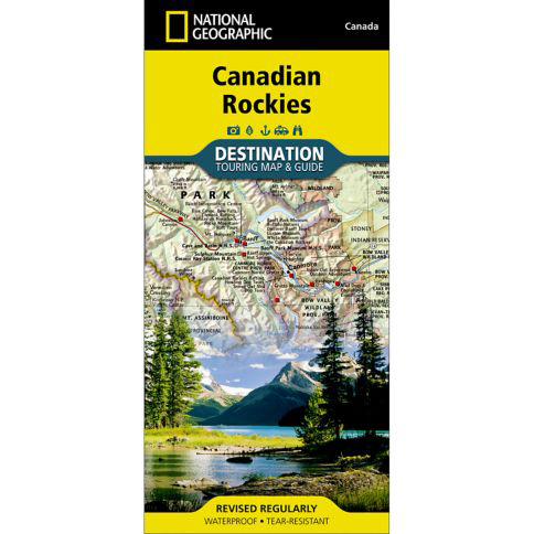
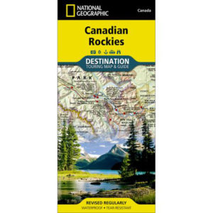
National Geographic – Canadian Rockies – Destination Folding Travel Map
$14.95
Published: 2020
National Geographic’s Canadian Rockies Destination Map strikes the perfect balance between map and guidebook and is an ideal resource for touring this culturally and geographically unique region.
Publication: 2020 || Size: 25.5″ x 37.75″
In stock
National Geographic’s Canadian Rockies Destination Map strikes the perfect balance between map and guidebook and is an ideal resource for touring this culturally and geographically unique region. Canada’s share of the Rocky Moutains averages approximately 100 miles across (160 kilometers) and runs from Waterton Lakes National Park on the Alberta-Montana border northwest towards the Yukon territory. Some of the extra features include:
- Charts detailing visitor centers and nearby state parks
- Colorful photographs featuring the region’s enchanting landscape
- History, leaf viewing, wildflowers, wildlife, and places to visit
- Descriptive content highlighting outdoor recreation opportunities, water recreation, camping, hiking, and the Appalachian Trail
Every Destination Map is printed on durable synthetic paper, making them waterproof, tear-resistant and tough — capable of withstanding the rigors of any kind of travel. We love technology and enjoy the convenience of GPS, but you can’t plan a trip on a phone screen and navigation doesn’t work where there’s no cell signal. Start your next trip on the right foot with a high-quality folding travel map. Make the most of your next adventure, even if you lose GPS or cell signals. You’ll always be on the correct route with our folding travel maps. Your adventure starts here!
Coverage Includes
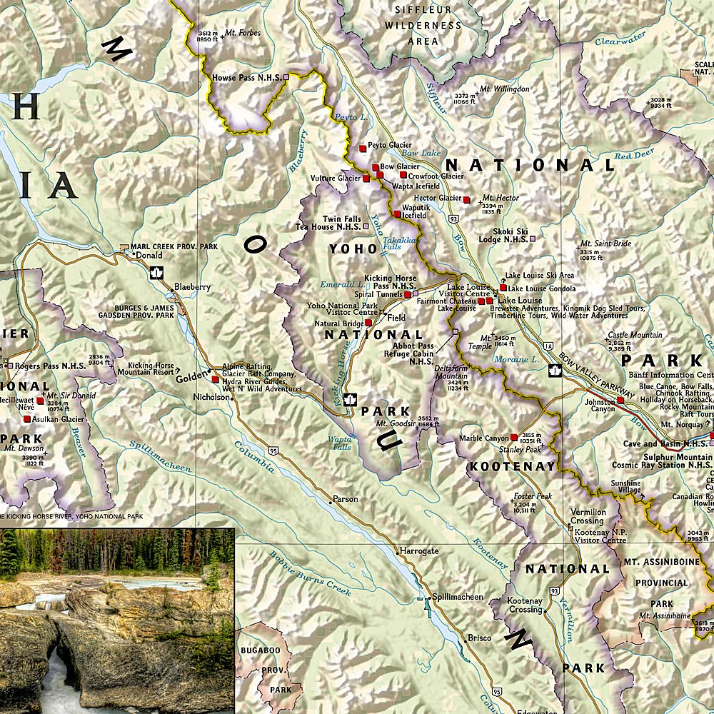
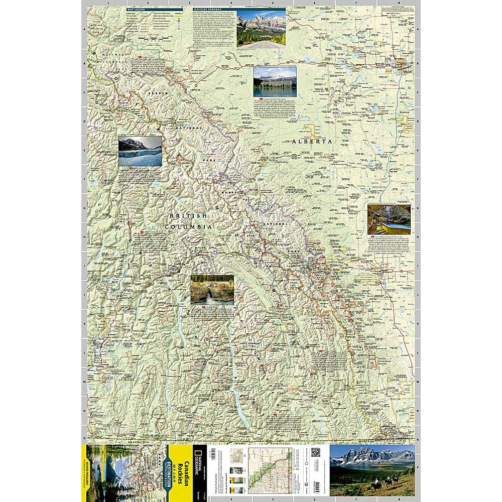
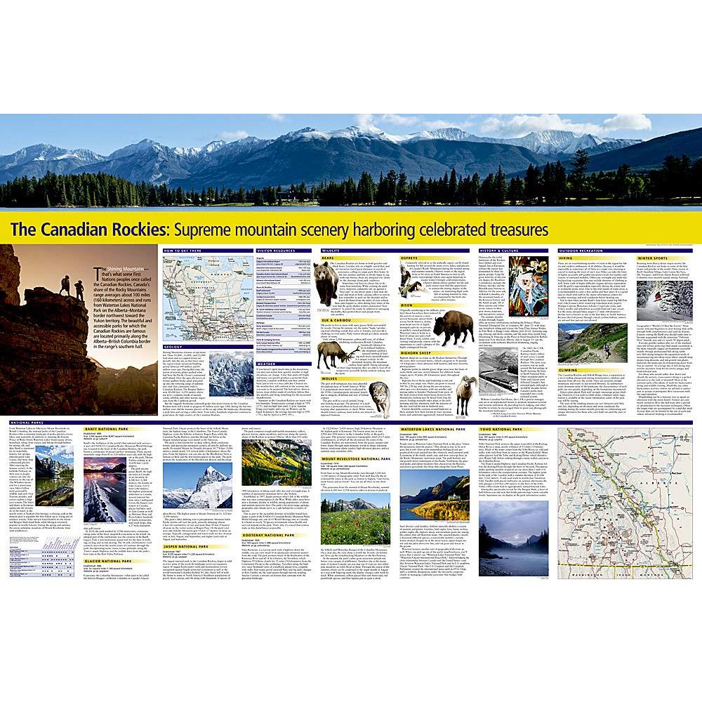
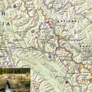
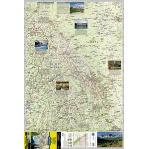
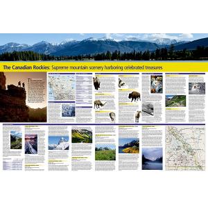
The front side of the Canadian Rockies DestinationMap reveals a map of the Alberta-British Columbia border region in the range’s southern half, which is home to the many beautiful and accessible parks for which the Canadian Rockies are famous. Jasper, Banff, Yoho, Glacier, and Kootenay National Parks are featured as well as a comprehensive road network including the Trans-Canada highway and Icefields Parkway. Indian reserves, provincial parks, protected and natural areas, wilderness, and recreation areas are featured on the map. Photographs highlight points of interest including the Fairmont Chateau Lake Louise, Athabasca Glacier, Natural Bridge, and Cave and Basin Natural Historic Site. The reverse side of the map provides invaluable content for travelers, including a chart and important information regarding Banff, Glacier, Jasper, Kootenay, Mount Revelstoke, Waterton Lakes, and Yoho National Parks. Visitor resources including airports, buses and shuttles, railways and parks and camping services are featured as well as information on weather, geology, wildlife, history and culture, and outdoor recreation opportunities including hiking, climbing and winter sports.
What is a Destination Map?
These map guides are an ideal resource for touring culturally and geographically unique regions. Destination Maps are printed on waterproof and tear-resistant material and include accurate road networks, historic sites, cultural attractions, terrain, and much more. They’re the perfect maps for becoming a local expert!
About the Author
Founded in 1915 as the Map Department of the National Geographic Society, National Geographic Maps is responsible for illustrating the world around us through the art and science of mapmaking. Today, National Geographic Maps continues this mission by creating the world’s best wall maps, outdoor recreation maps, travel maps, atlases and globes that inspire people to care about and explore their world.
Back-Orders & Out of Stock Items
If the item is currently out of stock it will ship as soon as we can get it. This will be shown in the “Normally Ships in” section above. If the item is on backorder you will recieve an email with updates as we recieve them. Our goal is to get your products to you a quickly as possible!
Returns
We offer free returns within 30 days for this product. Contact us within 30 days of receiving your product to receive a return authorization number, which you can write on the box and ship back to us. We will issue your return within three days of receiving the product back. **We do not refund the initial shipping charges and you’re responsible for shipping charges to get the product back to us unless we made a mistake in the order.
| Publisher | National Geographic |
|---|---|
| Language | English |
| Published | 2020 |

