
This Is A Cat
Wrong – But Not a Mistake!
Welcome to the hopper. This is where you can find everything from travel hacks, funny anecdotes, quizzes curated just for you, and other content map shoppers want to explore.

Wrong – But Not a Mistake!


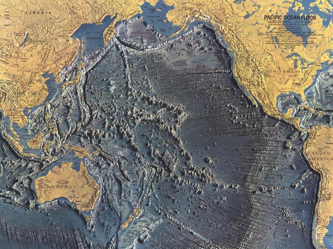
Another method is Seismic Surveying: This method uses sound waves to create a map of the ocean floor’s geology. It is used to map the underlying rock formations and locate potential oil and gas reserves.
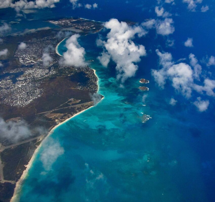
Are you more a fan of mapping the ocean floor from a distance? Might we suggest Remote Sensing: This method uses satellite-based technology to map the ocean floor. Satellite imagery can be used to map the ocean floor’s topography, as well as its vegetation and water temperature.
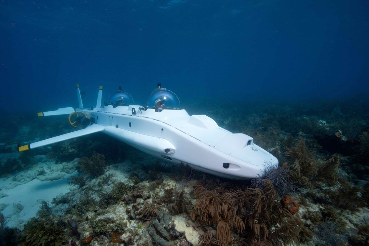
But if you aren’t put off by the water you can map the ocean with the use of Submersibles: These underwater vehicles can be equipped with cameras, sonar, and other instruments to collect data and create detailed maps of the ocean floor. Finally, there is Sampling and Drilling: This method is used to collect samples of the ocean floor’s geology, such as sediment and rock, which can be analyzed to create a map of the underlying geology.
It’s important to note that mapping the ocean floor is a challenging task, due to the vastness of the ocean, the depth of the water, and the rough conditions at sea. The technology used for mapping the ocean floor has improved greatly over the years, and the mapping process has become more efficient and accurate. However, much of the ocean floor remains unmapped and unexplored, due to the difficulties and costs of conducting research in the deep ocean.
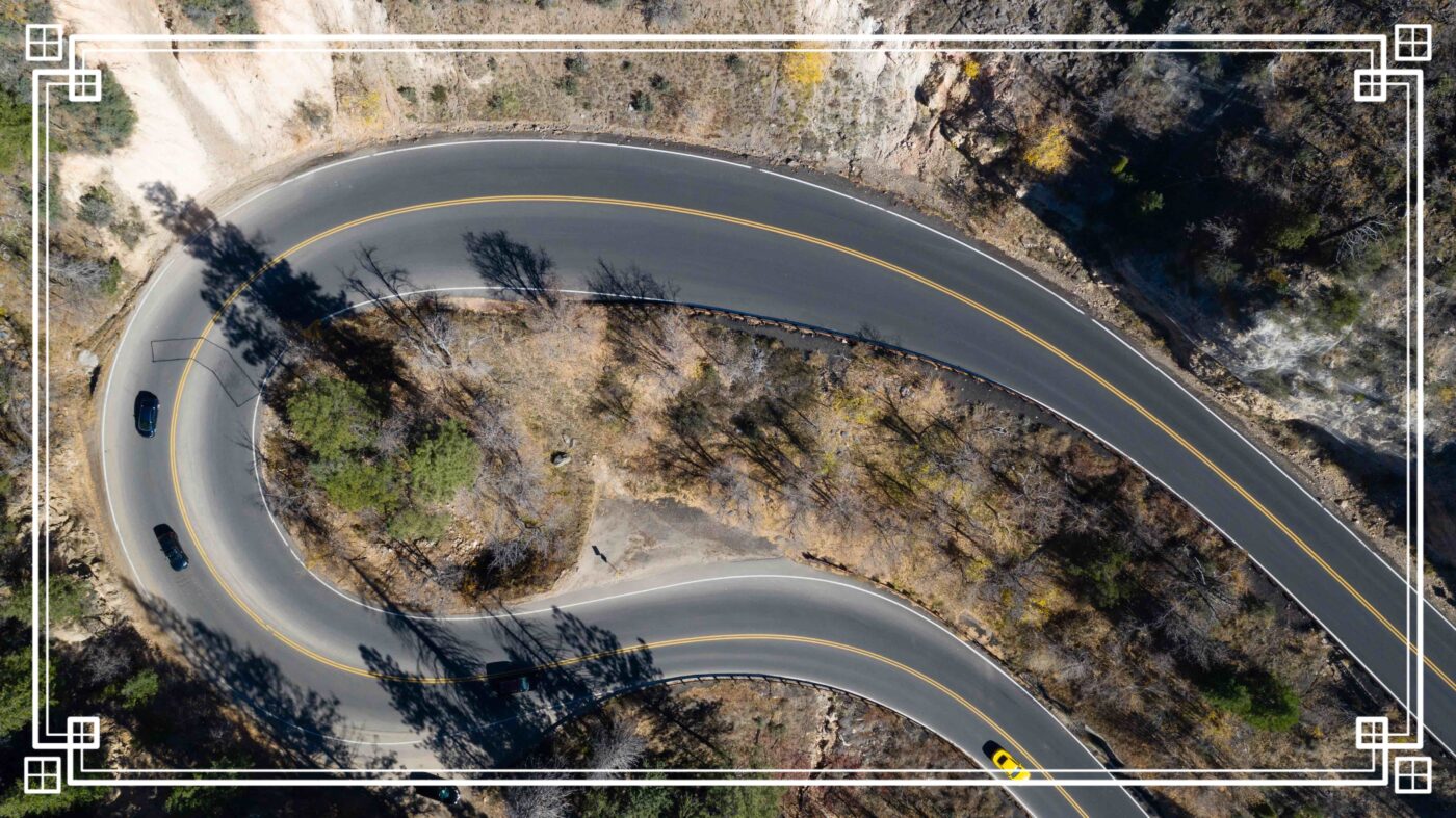
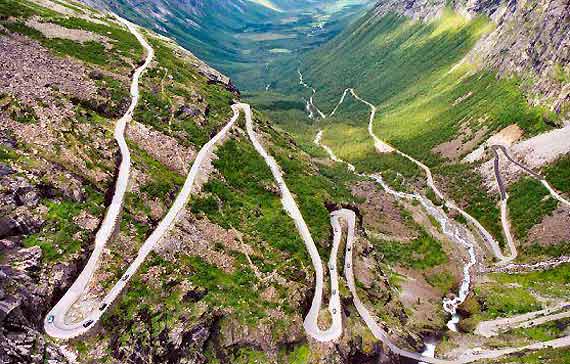
The winding nature of the road is not only a challenge for drivers but also a safety concern. The road has many sharp curves and steep inclines that can be difficult to navigate, especially for those who are not experienced drivers. The road is also prone to landslides and rockfalls, which can make it even more dangerous. Despite the challenges, the Road of the Thousand Turns is a must-see for anyone who loves the thrill of the open road. The winding path, combined with the stunning views, makes for a truly unforgettable experience. It’s a great opportunity to test your driving skills. It’s an adrenaline-pumping, curve-laden, and challenging road- but the views are spectacular. Mostly for your passenger, if you’re driving, we suggest you keep your eyes on the road.


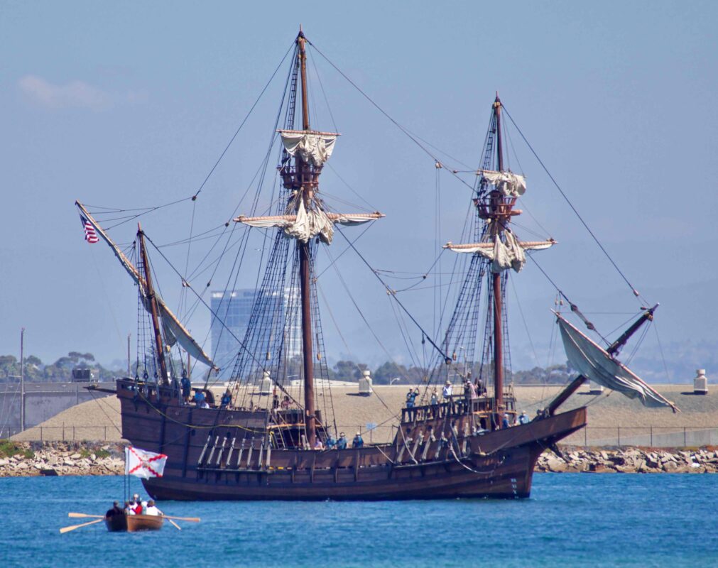
The first European to map the west coast of the United States was the Spanish explorer Juan Rodríguez Cabrillo. He led an expedition in 1542-1543 that explored the coast of present-day California, Oregon, and Washington. Cabrillo is also known as the first European to set foot on the West Coast of the current-day United States.
Cabrillo’s expedition was the first European exploration of the West Coast of the United States, and his maps and journals provided valuable information about the region. Although Cabrillo did not find a passage to the East Indies, his voyage opened the way for future exploration and colonization of the West Coast.
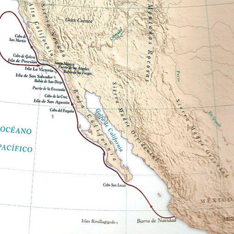
On September 28, 1992, the explorer was honored with a 29-cent commemorative stamp issued in San Diego, California. It had been 450 years since he landed at San Diego harbor. On September 28, 1542, Cabrillo stepped ashore at a harbor he named San Miguel, the site of modern-day San Diego.
It’s important to note that Cabrillo was not the first person to map the West Coast. Indigenous peoples had mapped the land, rivers, and coast long before Cabrillo and other Europeans arrived in America. They had a deep knowledge of the land, its resources and its inhabitants, but their mapping methods were different and not recorded in the same way as the Europeans.
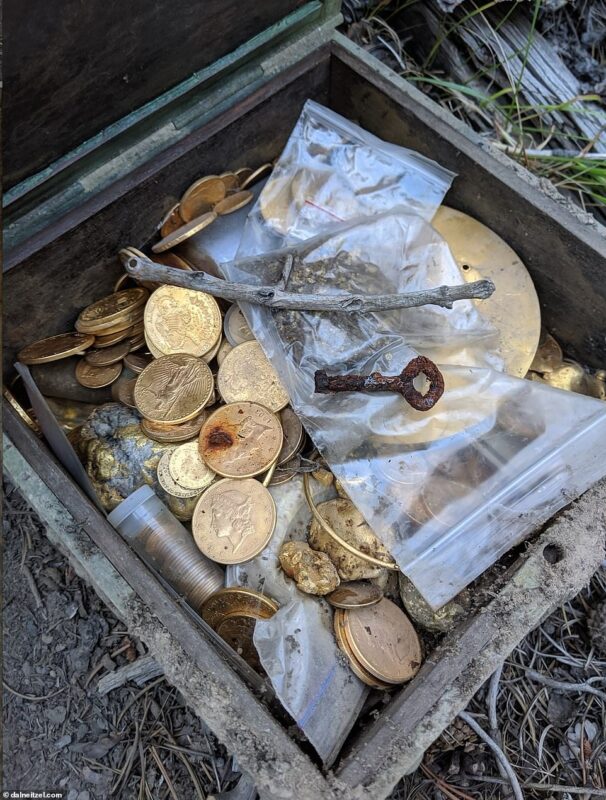
The discovery of a treasure map can be an exciting and thrilling experience, leading to an adventure in search of hidden riches. One of the most well-known examples of a treasure map discovery is the story of Forrest Fenn’s treasure.
Forrest Fenn, a retired art dealer and author, announced in 2010 that he had hidden a treasure chest filled with gold, jewels, and other valuable artifacts somewhere in the Rocky Mountains. He also released a poem that contained clues to the treasure’s location. The poem, along with Fenn’s other hints and clues, sparked a treasure hunt that drew thousands of people to the Rocky Mountains in search of the treasure. To some, Fenn was a hero, providing a way to instant wealth and adventure in the great outdoors through the treasure hunt. To others, he was reckless and cost lives. Five people lost their lives in pursuit of the treasure.
The discovery of the treasure caused a great deal of excitement and speculation. Many people were thrilled at the idea of finding such a valuable treasure, while others were skeptical, questioning the authenticity of the claim. However, Forrest Fenn confirmed that the treasure had been found and that the photograph was genuine.
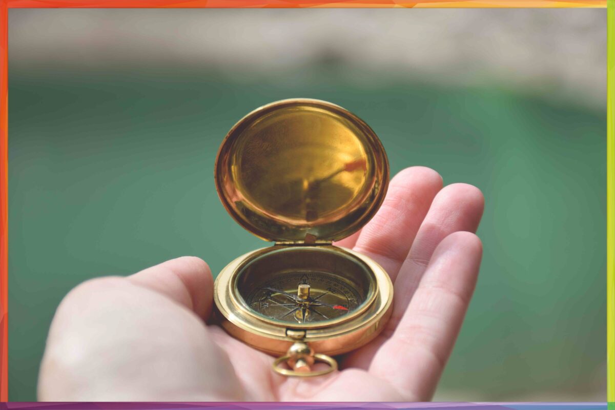
If you are a map nerd your favorite flower is the compass rose. A compass rose is the name given to the symbol found on maps and charts that shows the cardinal directions (north, south, east, and west) and their intermediate points (northeast, southeast, southwest, and northwest). The name “compass rose” is derived from the fact that it is often shaped like a flower, with the cardinal points arranged like petals around a central hub.
The compass rose has been used for centuries to help navigate the seas, and it was an essential tool for sailors in the age of exploration. By using a compass, sailors were able to determine their direction of travel and navigate to their destination. The compass rose on a map or chart would help them to orient themselves and understand the layout of the area they were navigating.

The use of the compass rose spread to other fields such as cartography and land navigation. Today, the compass rose is a standard feature on maps and charts, providing a quick and easy way for people to orient themselves and understand the direction in which they are facing. It is also a helpful tool for hikers, backpackers, and other outdoor enthusiasts. At the Map Shop we may not know anything about flowers, but if you are looking for a bouquet of compass roses -we’ve got you covered!
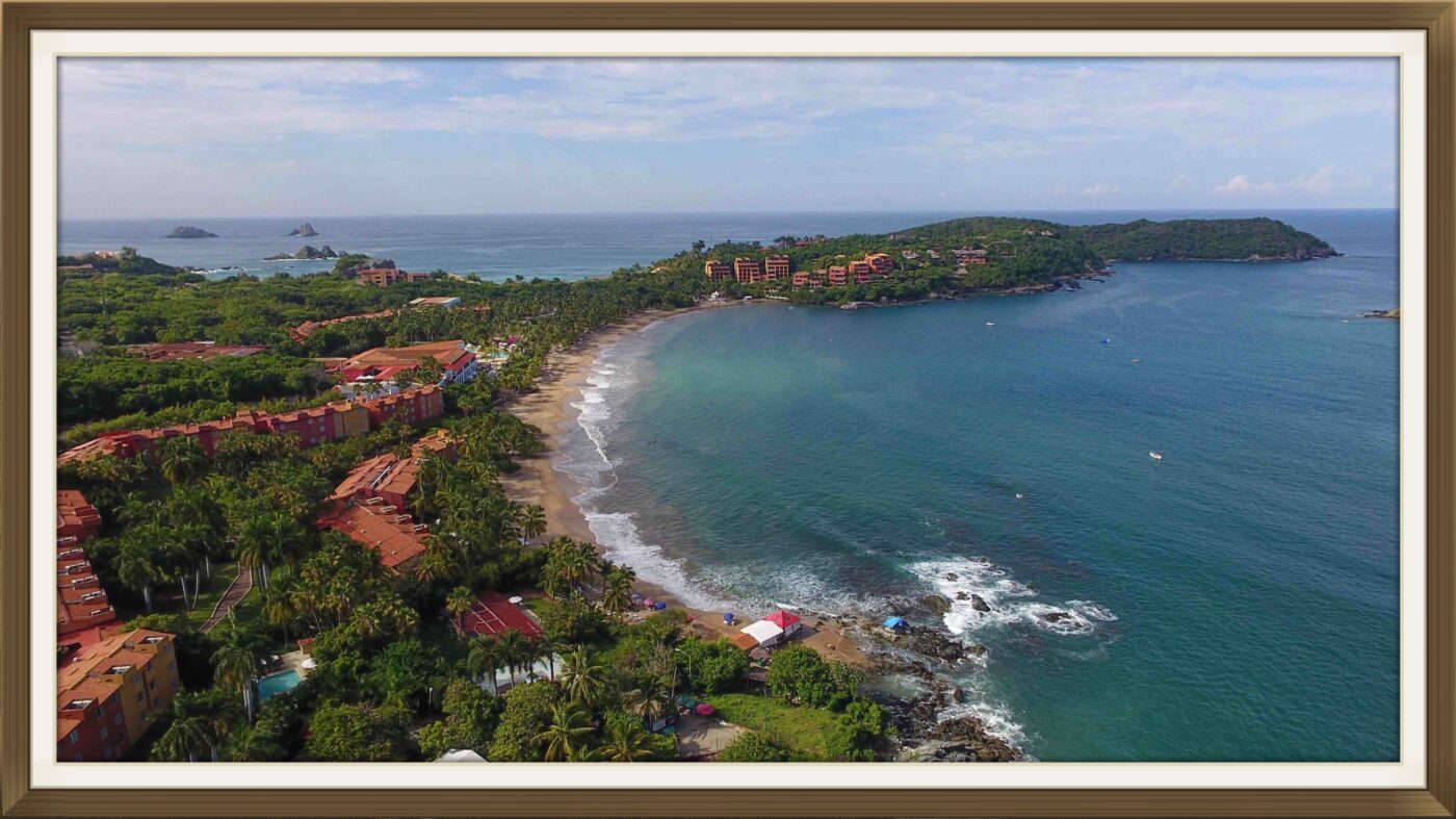
There are a ton of great beaches in Mexico from Cazumel to Mazatlan. In Fact there is over 5,800-miles of sandy coastline in Mexico. But Thanks to thousands of airings of The Shawshank Redemption on cable TV, perhaps the most famous Mexican beach is in Zihuatanejo. This was the spot where the characters, Andy Dufrane and Red, reunite as free men (#spoileralert).
In real life, Zihuatanejo, or Ixtapa-Zihuatanejo, is the fourth-largest city in the Mexican state of Guerrero. This coastal town located on the Pacific coast of Mexico is known for its picturesque beaches, crystal clear waters, and laid-back atmosphere. It’s a popular tourist destination for those looking to escape the hustle and bustle of everyday life.
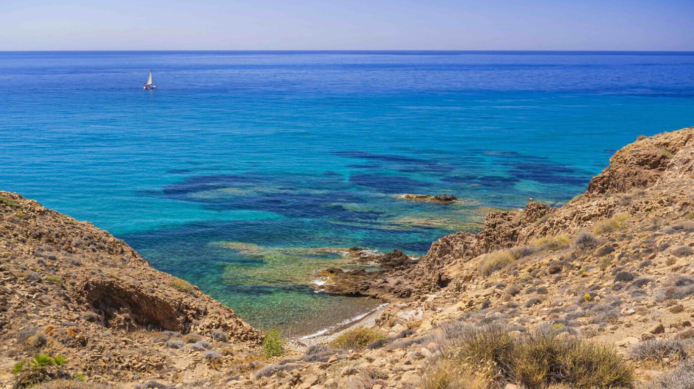
One of the most popular beaches in Zihuatanejo is Playa la Ropa, which is considered one of the best beaches in Mexico. This white sandy beach stretches for over a mile, and is bordered by coconut palm trees and lush tropical vegetation. The water is a clear turquoise blue, and is perfect for swimming, snorkeling, and other water sports.
Another popular beach in Zihuatanejo is Playa Las Gatas. This beach is located on a small island, and can only be accessed by boat. It is known for its clear waters and beautiful coral reefs, making it a great spot for snorkeling and diving.
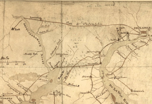



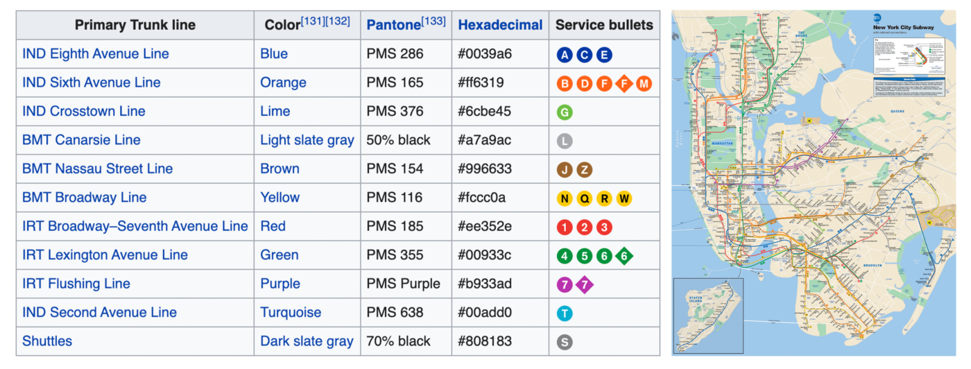
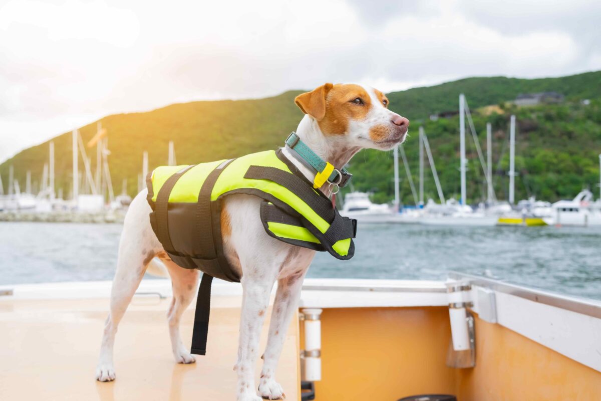
Scale. Somewhere on your map, you’ll see a number expressed as a ratio (ex. 1:100,000). This means that every one inch on the map translates to 100,000 IRL.
Water depth. It’s crucial for any navigator to know the water’s lowest depth measurements.
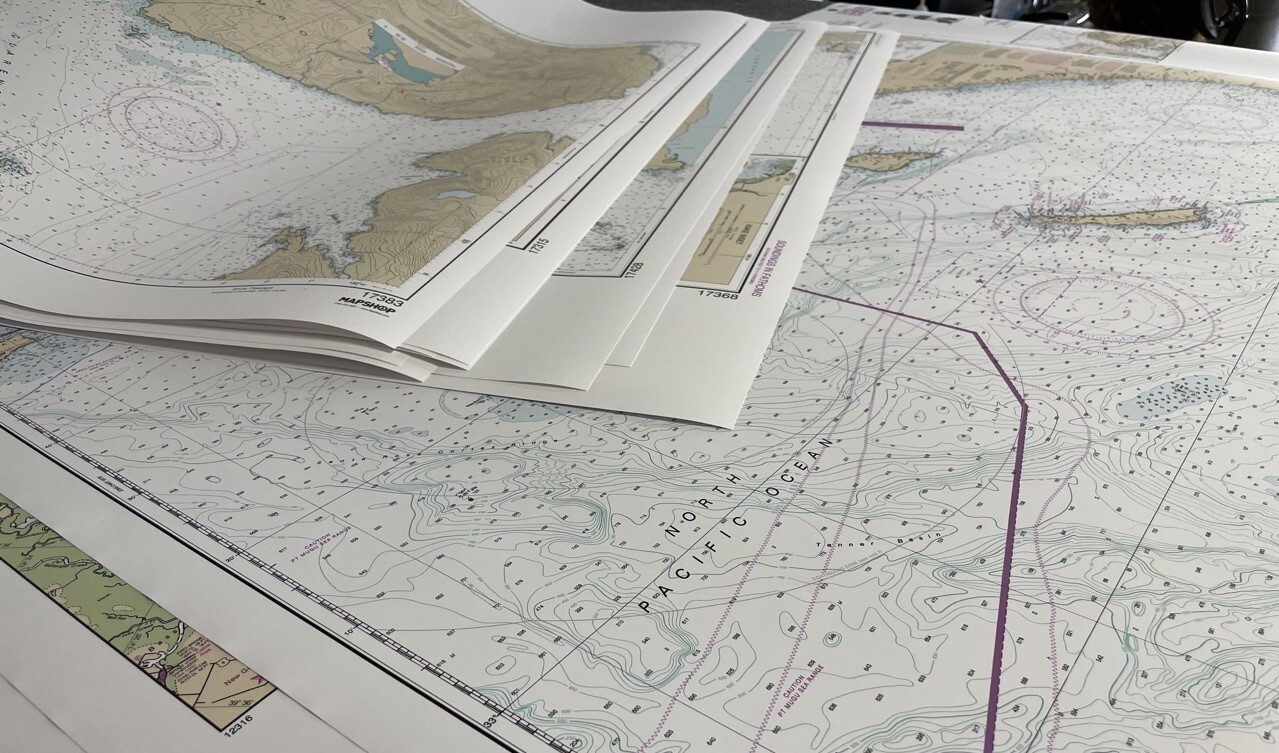
Contour lines. those dotted lines on your chart – give guidance about happenings below the water’s surface. Red lines will show where water is relatively stable. Lighter areas are usually coded as a light blue, and yellow, tan, or beige indicate sandbars.
Navigational guides. Red and green markers symbolize buoys, with the former always on a channel’s right side and the latter on the left. Keep track of this, and you’ll always be able to orient yourself. Meanwhile, arrows demonstrate the typical direction and speed of tides or currents.
Docking.You’ll find anchor symbols interspersed throughout your chart. These are places you can safely anchor. Hazards and obstructions.look for circled areas on the map. These typically show things like shipwrecks, problematic rocks, and other things that could pose harm to a ship and its persons. Have we wet your appetite about Nautical Charts?
BASICS OF NOAA CHARTS
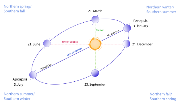
Well the earth is about to make it around the sun again, and we are about to celebrate the new year – let’s map out what that means on a planetary scale. The earth orbits the Sun at an average distance of 93 million miles in a counterclockwise direction as viewed from above the Northern Hemisphere. One complete orbit takes 365.256 days – during which time Earth and all of us on it will travel 584 million miles through space. Earth’s orbit is an ellipse, and the planet’s orbital prograde motion makes the Sun appear to move with respect to other stars at a rate of about 1° eastward per solar day. Earth’s orbital speed averages 66,616 mph. That’s fast enough to cover the planet’s diameter in 7 minutes and the distance to the Moon in 4 hours.
Space Maps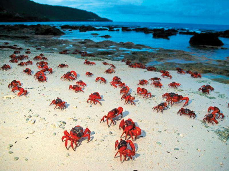
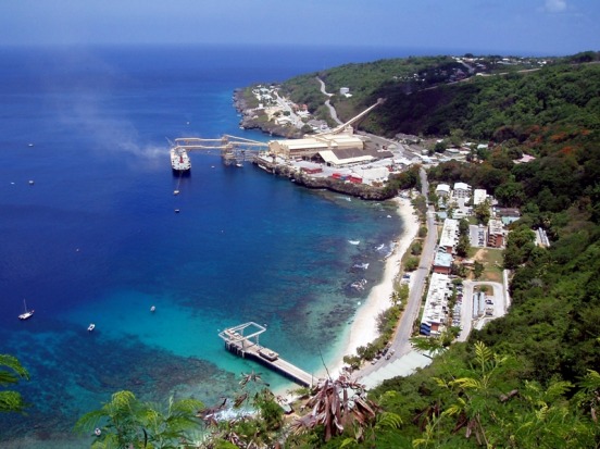
At Australia’s request, the United Kingdom transferred sovereignty to Australia, with a $20 million payment from the Australian government to Singapore as compensation for the loss of earnings from the phosphate revenue. The United Kingdom’s Christmas Island Act was given royal assent on 14 May 1958, enabling Britain to transfer authority over Christmas Island from Singapore to Australia by an order-in-council. Australia’s Christmas Island Act was passed in September 1958 and the island was officially placed under the authority of the Commonwealth of Australia on 1 October 1958.
CHECK OUT OUR AUSTRALIA MAPS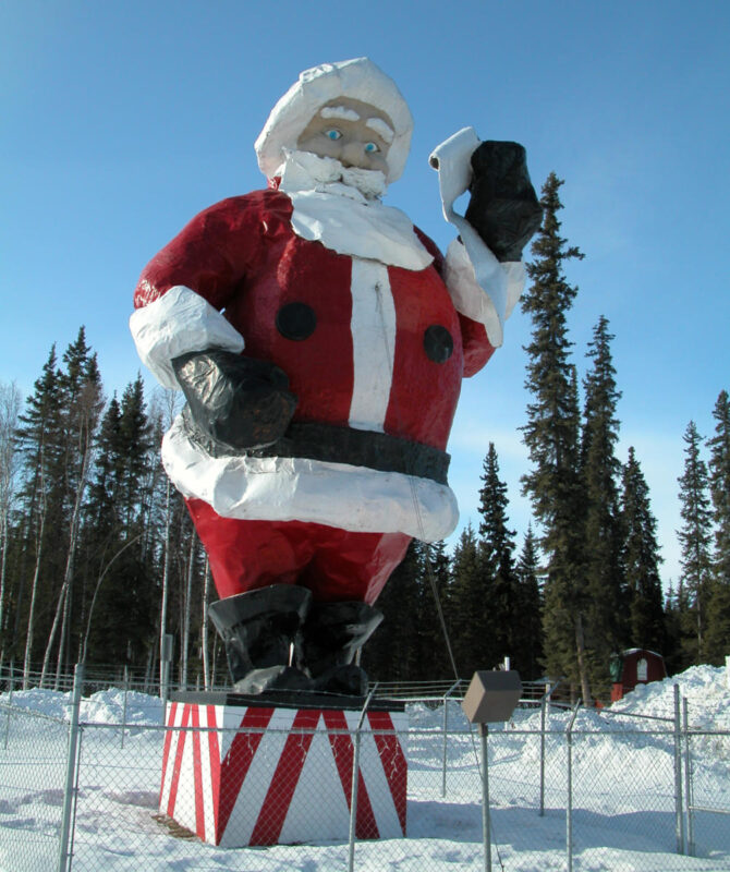
Looking to go the extra mile this Christmas? Try going several miles north to North Pole, Alaska. Despite its name, the city is about 1,700 miles south of Earth’s geographic North Pole, but “close enough”. North Pole Alaska is a community of about 2,200 residents, (possibly elves) where it’s always Christmas. They have the decorations up 365 days of the year. You can drive down streets like Kris Kringle Drive, Mistletoe Lane or Santa Claus Lane and even stay the night at Santaland RV Park.
In December, North Pole hosts its annual North Pole Christmas In Ice Contest attracting ice sculptors from across the globe. Of course, this is also the place where you’ll have the chance to mail your postcards from Santa’s official zip code so that friends and family receive mail postmarked from North Pole, Alaska. If you can’t make it there before Christmas – don’t worry The Santa Claus House is open all year ‘round – it’s the “official” home of Santa Claus and his live reindeer are happy to greet all visitors who pass through this winter wonderland.
CHECK OUT OUR ALASKA MAPS

Mapping out road trips is always fun. It’s kind of like reading the story of your trip before you go. Great stories are full of drama and suspense. So its only natural that a great road trip may lead to some dramatic suspension as well…Check out the top three longest Suspension bridges in the USA.
Located at the mouth of upper New York Bay, is the longest suspension bridge in the US. It is a double-decker suspension bridge with six lanes per deck.
Golden Gate Bridge, spanning the Golden Gate strait, connects San Francisco with the County of Marin. With a central span of 1,280.2m, it is currently the second longest suspension bridge in the US.
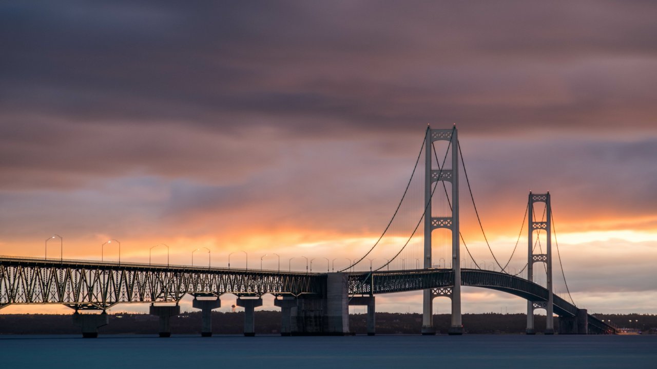
Mackinac Bridge located on Interstate 75 in northern Michigan is the third longest suspension bridge in the US. It spans the Straits of Mackinac and connects the Mackinaw and St. Ignace cities.

At The Map Shop we carry a wide selection of globes – but even we have to admit that some other places have really raised the bar in the globe game. Check out these World Class Globes.
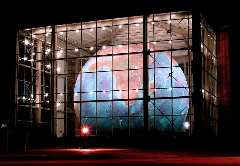
Eartha is the world’s largest rotating and revolving globe, located within the former headquarters of the DeLorme mapping corporation in Yarmouth, Maine. Garmin purchased the company and the building in 2016. The globe weighs approximately 5,600 pounds and has a diameter of over 41 feet!
Located in Wellesley Massachusetts This big boy weighs in at 25 tons and is 28 feet wide, the Babson World Globe was the world’s largest rotating earth-ball when it was built in 1955. Its rotating motor was shut down in the late 1990s, and wasn’t restarted until 2019.
This famous 140-foot-tall stainless steel globe is located in Queens, New York City. It is in Flushing Meadows-Corona Park. It was designed by landscape architect Gilmore D. Clarke. The globe weighs 700,000 pounds (320,000 kg). It is the world’s largest globe (but it does not rotate). There are, however, fountains and a reflecting pool around the Unisphere.The Unisphere was built for the 1964-1965 New York World’s Fair. The Unisphere is designed to show countries around the world depending on each other.
If you have a globe at your home or place of business that is bigger than any of these – please let us know at the Map Shop and we will add it to our list. If you are interested in a more portable option check out our selection of non-colossal sized globes
OUR GLOBE SELECTION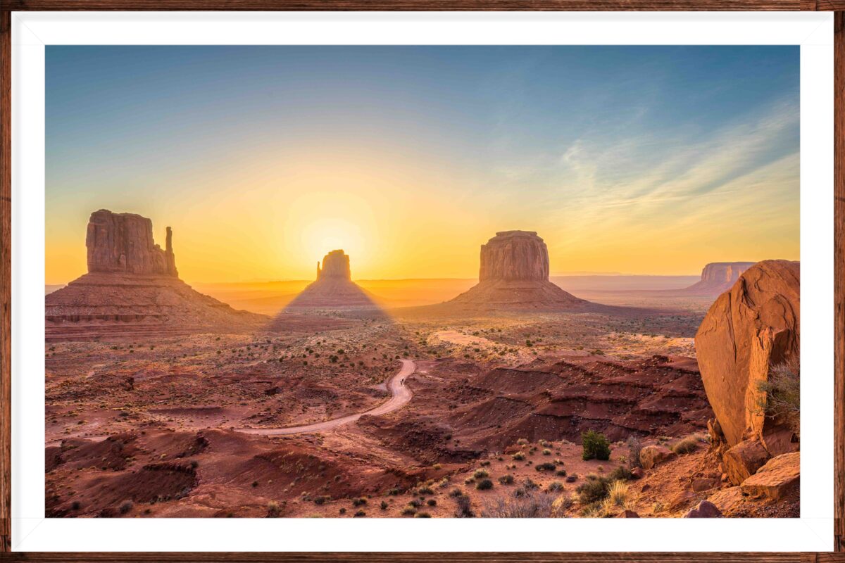
If your map of choice is a hiking trail map – might we suggest Sedona, Arizona. November is here and this is the perfect time to soak in the colorful fall scenery in the Sedona region. And now that its not crazy hot, you’ll be able to enjoy the outdoors for longer periods of time perfect for your scenic hikes.
Check out Red Rock State Park, home of Cathedral Rock – one of Arizona’s most famous landmarks. This 286-acre nature preserve – located about 10 miles southwest of the intersection of routes 89A and 179. It is where you’ll find some of Sedona’s more famous formations. The park offers a 5-mile trail network that is composed of interconnecting looped trails. The Eagle’s Nest Loop leads to the highest point in the park with an elevation gain of 300 feet. So grab your map and meet me at the intersection of 89A and 179.
LEARN MORE AND TRAVEL TODAY
Transylvania County: is a county in the U.S. state of North Carolina. As of the 2020 Census the population is 32,986. Its county seat is Brevard. The North Carolina General Assembly apportioned Transylvania County on February 15, 1861, from lands previously attributed to neighboring Jackson and Henderson counties; it was named by representative Joseph P. Jordan Until the early 20th century, the vast majority of Transylvania County residents subsisted through agriculture, growing staples such as potatoes and cabbage.

Congressional districts are the 435 regions from which voting representatives are elected to the U.S. House of Representatives. After the decennial census population count is tabulated, apportionments of congressional seats are alloted to each state. States are required to draw their own congressional districts for the purpose of electing members to the House of Representatives. We have developed a series of Congressional Districts Wall Maps with the most current 2022 Congressional District boundaries.Including all new districts that were created as a result of the 2020 Census data.Using the new data, our Map Shop Cartographers designed a complete set of accurate and aesthetically pleasing modern Congressional maps.
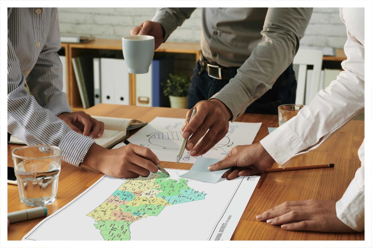
Why Are They Important? Congressional districts, also known as electoral districts, legislative districts, or wards, are divisions of a larger administrative region that represents the population of a region in a larger congressional body. These maps can be useful for a wide variety of reasons from running your political campaign, and district planning, to tracking party leanings across a state. Our Congressional District 2022 maps have been designed with “non-partisan” colors to eliminate confusion, as some people associate certain colors with particular political parties. Check Out Our Congressional Districts Maps
Read More About Them! See Our Maps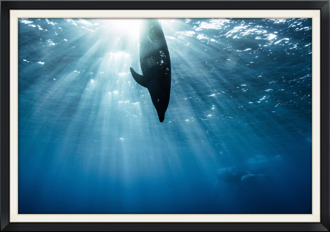
If you’ve found yourself taking a dip in the ocean during a recent vacation, then you know just how awe-inspiring the ocean is. Stretching as far as the eye can see and filled with a truly shocking number of beautiful, weird, and wacky species of marine life, it’s such a unique environment - and it’s one we’ve spent countless years, decades, and even centuries getting to know. By now, we have a pretty firm grip on what lies close to the surface. Yet the reality is that we’re still nowhere near close to fully mapping these vast stretches of oceans. According to the National Ocean Service, more than 80% of our ocean is unmapped, unobserved, and unexplored, and the work on that front seems like it’ll continue to move at a snail’s pace for the foreseeable future.
There are two primary reasons for this. The first one is simply that there’s a lot (and we do mean a lot) to explore. In fact, 71% of our planet is ocean, and the majority of that is far beneath the surface where we can easily explore. And this is where the second problem comes into play: the depths of the ocean floor are so deep that our normal mapping means aren’t terribly available to us …
Mapping The Ocean Floor
Take the Map Shop personality quiz to discover your “spirit map”
take the test today!
If you are looking for a map that describes elevation and contour you need a topographical map. A ‘topo’ map shows the shape of the Earth’s surface by using contour lines.
You can also use topo maps to recognize different features that could impact the way you navigate through terrain; such as streets, trails, streams, vegetation, There are three basic elements on a topographical map are: Contour Lines, Colors, & Scales.
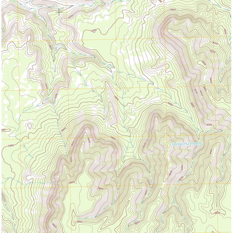
CONTOUR LINES mark a path or segment of equal elevation on the map. These paths are conferred as elevations and reliefs. When reading a topo map you’ll most likely encounter three kinds of contour lines: Index lines are the thickest contour lines and are usually labeled with a number at one point along the line. This tells you the elevation above sea level. Intermediate lines are the thinner, more common, lines between the index lines. They usually don’t have a number label. Typically one index line occurs for every five intermediate lines. Supplementary lines appear as dotted lines, indicating flatter terrain. Just remember the closer the lines, the more rapid the change.
Learn to differentiate COLORS on the map and your journey ahead just got easier.
A topo SCALE tells you how detailed your map is. A larger-scale means that the map will have a smaller area coverage but more detail. You can also use the scale to help you visualize distance. You can also orient yourself with the map. Look at the map and look at features like roads and bridges or even rivers and see if you can locate where they are in real life.
How To Read A Map How a Scale Works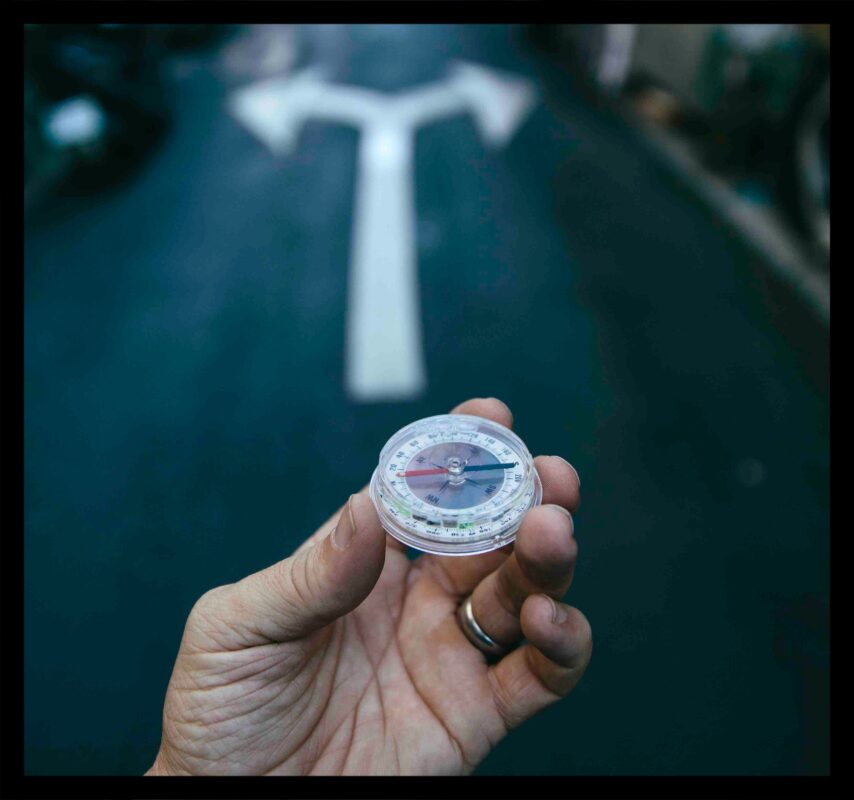
Maps inspire you to think outside your own world, expand your horizons, and take a look at the places you want to go to. The world is a big place and even just acknowledging there are vast swaths of the world that you know nothing about can inspire you to learn, engage and explore. It doesn’t matter if you travel one state over or halfway across the world, Maps can be the first step into different cultures beyond your own and makes you more connected to the world and people outside your bubble.
Maps take complex data sets and display them in a pleasing graphic you can use to answer questions about your world. Imagine that you’re back in elementary school and you ask your teacher to show you how big the United States is compared to other countries. She nods her head, walks over to the spring roller, and pulls down a huge spreadsheet that lists each country and their areas. Huh?!?!

Maps are a visual representation of complicated data. Some may think maps are unnecessary and complicated tools, but in reality, maps simplify your life.
Maps support spatial thinking by helping children visualize where objects, places, cities, and countries are in relation to one another. Spatial thinking has been linked to greater success in math and science. Children who develop robust spatial thinking skills will be at an advantage in our global and technological society. As we start shaping their education and preparing them for the future, map reading skills help children gain proficiency in the principles of geography. Oh, the places you’ll go with the help of a map!
What Is A Map Maps Used To Study
Remember when you earned your Orienteering merit badge for navigating a map using a magnetic compass? Well, you may have to get recertified because things could get weird. The Earth’s magnetic field is very similar to that of a bar magnet, with a north and south pole, but the earth is spinning and its inner layers are constantly changing due to geological forces. These fluctuations cause the Earth’s magnetic poles to wander. Historically, the North Pole has moved at about 9 miles per year. But since the 1990s the “Magnetic North Pole” has been moving at about 35miles per year towards Siberia. Some scientists speculate that this increase in magnetic drift suggests that the planet is headed for a ‘magnetic reversal’, Meaning magnetic north and south poles actually flip! This has happened 171 times in the past 71 million years – and we are overdue a flip.
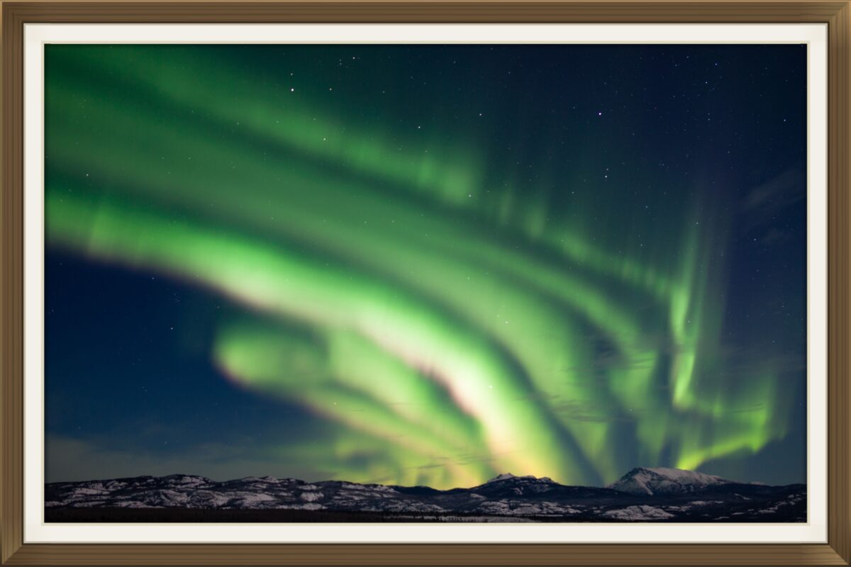
A reversal flip cycle is believed to take over 1,000 to 10,000 years to complete, during which time the field slowly shrinks to zero before growing again with the opposite polarity. So if we are headed for a flip the earth will be without a magnetic field for a while. So no more Aurora Borealis
The lack of a magnetic field is a dangerous prospect as the planet’s magnetic field acts as a protective bubble around Earth, shielding the planet’s surface from ‘solar wind’ and high energy ‘cosmic ray’ particles from deep space. So there’s that- So the next time you see north on your compass just be aware that the “NORTH” and “SOUTH” are subject to change. As of now we are still recognizing your Orienteering merit badge as valid. Rest assured-The Map Shop has a team of monitors working around the clock, so If the magnetic poles do flip we will let you know.

Explorers have crisscrossed the world and the most seasoned travelers claim to know the map backwards and forwards. But did you know that there are some places on the map that are literally the same backwards and forwards?!?
CITY & STATE
Adaven, Nevada || Adanac, Canada || Nari, Iran
NINE LETTER CITIES
Ellemelle, Belgium || Kanakanak, Alaska || Kinikinik, Canada || Oktahatko, Florida || Paraparap, Australia
If you ever get the chance to name a city, might I suggest, “Taco Cat” or “Racecar”. These palindromes are available, and who wouldn’t want to commute from their home in Taco Cat to their job in Racecar?

Hike a meandering trail in a vast national park, navigate our country’s twisting network of waterways, or plan a tour of your city’s hottest local breweries. No matter what your interests are, our map-making utilizes the latest technology to empower globetrotters to explore the world around us.
Maps are both intellectually and emotionally evocative. Our geographic and cultural horizons get expanded when you understand the relationship of yourself to the space around you. When you engage with maps you make new connections with people, new connections with places, and even new connections within the cells of your brain. When you engage with a map you open yourself up to experience and understand more fully that big ‘ole universe around us.
learn more about us here!
If you have ever put your hands on a raised relief map at some point over the last half century you may have noticed the brand “Hubbard Scientific” stamped on the bottom of the map. Hubbard Scientific is the company that pioneered the first commercially available raised relief maps. The man responsible for getting them under your fingertips was Tom Hubbard.
By the mid 1960’s Hubbard realized there was a larger market opportunity for his products, so he took the big swing. Hubbard bought an abandoned school, turned it into his first factory and started selling directly to the public …
the hubbard scientific brand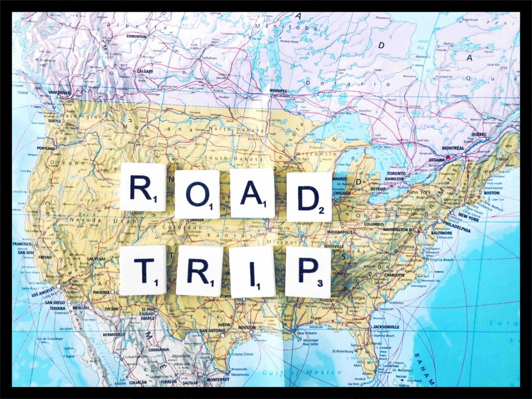
Road trips have long been an American staple, giving a feeling of freedom and fun that few other forms of vacationing can top. They’re endlessly flexible and customizable, as long or short, involved or straightforward, expensive or cheap as you want it. That gives them a massive plus in our book.
But where are you even supposed to start? There are literally thousands of trips you could take. Lucky for you, we’ve got a few recommendations that we consider absolute must drives …
10 roadtrips that should'nt be missed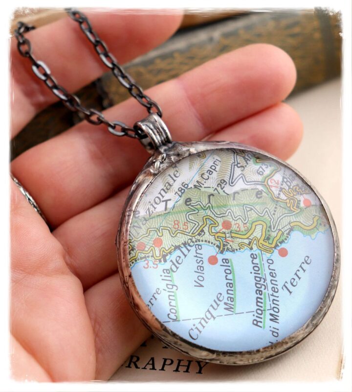
Are you the type who enjoys wearing your heart on your sleeve (or, in this case, around your neck) and putting your map-centric passions out there for all to see? If so, this is the project for you. While it sounds a little more involved than some of the others listed below, it’s actually very simple. All you have to do is buy a round bezel with a glass cabochon, (which is a fancy word for a flat backed glass dome) cut your old map to fit the cabochon, adhere it all together, and voila! You now have a one-of-a-kind map necklace. Wear it on a chain you like, and it’ll be no time at all until everyone starts asking where you got it.
Follow Along Our Step-By-Step Guide!
I bet you weren’t expecting a bird-themed post from a place that sells maps. But we map EVERYTHING including where birds fly. Here are some migratory bird facts that may beak your interest… In the Himalaya, Bar-headed Geese have been observed migrating at elevations topping 23,000 feet. That’s over 4 miles high! Many migratory birds fly at night. Cooler air temperatures reduce the dangers of overheating, and night flights allow birds to fly further without having to stop and cool down.
Also, dark skies means fewer predators. Migratory birds fly at speeds ranging from 15 to 55 miles per hour (depending on wind speed and air temp.) The Arctic Tern can fly over 49,700 miles each year on its migration route. The record holder for longest nonstop flight goes to the Bar-tailed Godwit. They can cover nearly 7,000 miles without stopping.
Bird Migration Maps
Adventure is fun, but sometimes traveling can be a little too adventurous. Losing a passport or other important itinerary documents while you’re on vacation is an instant trip to no-funsville. Before you travel, take pictures of all your important travel related documents and IDs and email them to yourself. That way you will access them from anywhere in the world. Be sure to take mental note of your email’s username and password before you jet off. If your phone gets disappeared along with your travel documents- you will need to log into your email using a device that does not remember your passwords.
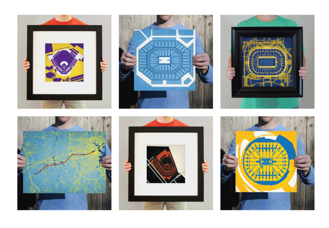
Previous years you went with: Tie, “World’s Greatest Dad” Mug, Random WWII book, Golf Balls, and that As seen on TV multi-tool he has never used. Well, Father’s Day is just around the corner and you have no idea what to get him for a gift … It can be a real mother to shop for Dad! But fear not! This year The Map Shop has got your back – Modernize his Man Cave with a Graphic Sports Stadium Map.
You may not understand dad’s unhealthy devotion to that sports team that lets him down every year…But this is your chance to score some points of your own with Dad and get him the perfect gift. And who knows he may finally use that multi-tool to hang up his new favorite thing in the house – your gift to him.
Learn Your Options Here!
If you are like most people you start planning a trip on the internet. In fact, most hotels and travel tickets are purchased online. But if you are comparing prices between sites…or check a price one day and return to that same site again later on – you may notice that the prices have gone way up.
Often travel websites put a cookie on your computer the first time you visit their site and they “remember” you. After you’ve checked the same flight or hotel room several times, it may increase the price of that particular purchase. It’s trying to make you think that “prices are trending up-so you better buy now! Before they go up even more” One way to avoid this is to clear your internet cookies. Then check the price again—you may get your original, cheaper, price!
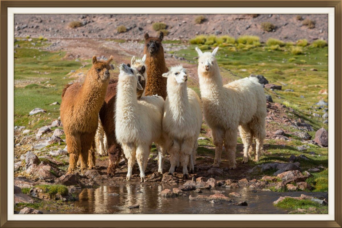
This week the Map Shop spotlight destination is Argentina. With outdoor adventures aplenty, awesome cities to explore, Andrean culture to learn about, and all the food and wine you could want, there’s a little something here for everyone …
You’ll need to carefully plan all travel within Argentina. Traveling anywhere, catching all the sights, and enjoying a ton of activities is something that never seems to get old for those of us who love exploring the world. But it’s also a lot to put on your plate.
Check out the complete Map Shop Argentina travel guide for more great information about your travels!
argentina travel guide argentina maps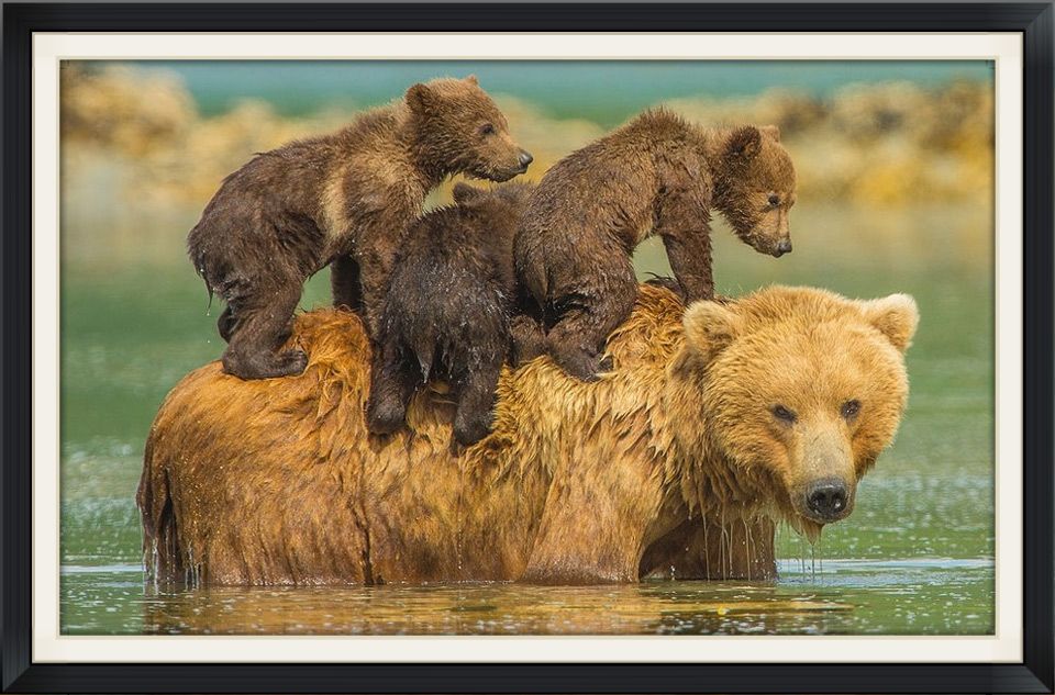
You know how Mother’s Day always seems to sneak up on you. Well, Not this year! It’s still a few weeks away and The Map Shop has put together a selection of unique Mother’s Day gift options that will resonate a little more than the last minute card & bouquet you got her last time.
Let her know that even though you may be separated by distance she is always in your heart. Choose your own colors and personalized text.
learn your options here!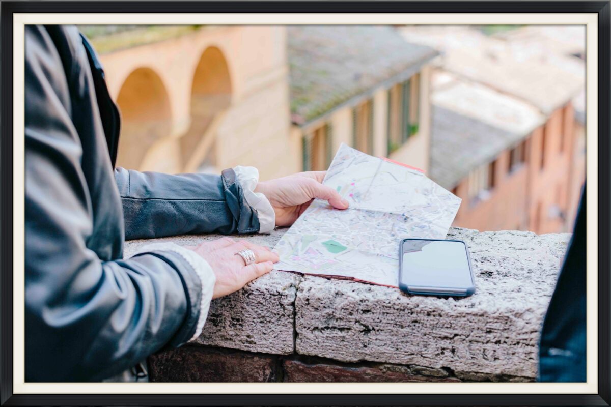
World travelers are a bit of a different breed from the average person. They tend to be more spontaneous, more adventurous, and curious. The world around them isn’t a source of distraction, anxiety, or annoyance, but rather one of opportunity. Exploration is everything. If you’re good on maps but still need a little guidance- check out our selection of travel guide book Available in both state and international varieties, they are a great source of information about restaurants, museums, attractions, hotels, shops, and more in a given area and can help anyone plan the trip of a lifetime. Know someone who’s just starting on their quest to see the world? Gift them our First-Time Around the World Rough Guide to get them started on the right foot.
Ultimate Gift Guide Battle of the maps
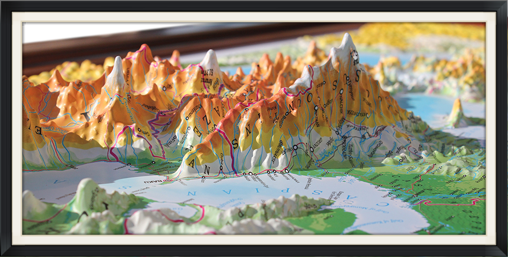
At the Map Shop, we have all types of maps. One of the most unique map options we carry is Raised Relief Map.
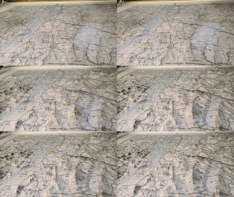
A raised relief map, also sometimes referred to as a 3D topography map, physical terrain map, or some combination of the two, is a type of map that’s made to better represent real-life locations. 3D terrain maps may – in many ways – appear more realistic than their flat counterparts, but they’re not at all more accurate. The 3D aspect is, of course, the culprit behind this since it offers a tangible picture of a location and its environment, adding up to a more lifelike representation.
WHAT YOU NEED TO KNOW! HUBBARD SCIENTIFIC BRAND
Triangulation is a process that uses the length of one side of a triangle and the angles of two known reference points to determine the location, distance, and coordinates of a certain point. That may not sound that impressive on a theoretical level, but it changed everything on a practical one.
For mapmaking, the triangulation process allowed distances and elevation to be measured regardless of how close or far away they were.
And in turn, this meant maps could be created for larger, further away areas that previously wouldn’t have been as accessible to people. In fact, advanced forms of the surveying technique led to the initial creation of countrywide maps by the end of the 18th century.
READ ABOUT HISTORIC MAP-MAKING
Looking forward to your next big vacation? If you are planning to travel from the US to overseas you’ll need a passport. Of course, you already knew that, but did you know that sometimes a valid passport can be “invalid” for entry into some countries?
Yes, Your passport is valid until the date of expiration. But there may be the entry requirements of the country or countries you plan to visit.
Many countries require your passport to have 3 to 6 months validity remaining on your passport before they will allow you to enter. So your passport may be valid but you will be stuck in the airport for your entire vacation!
If you are required to expedite your passport renewal, you can do so by visiting the nearest regional passport agency or submitting the application through a professional passport expediting service.
Travel Safety Guide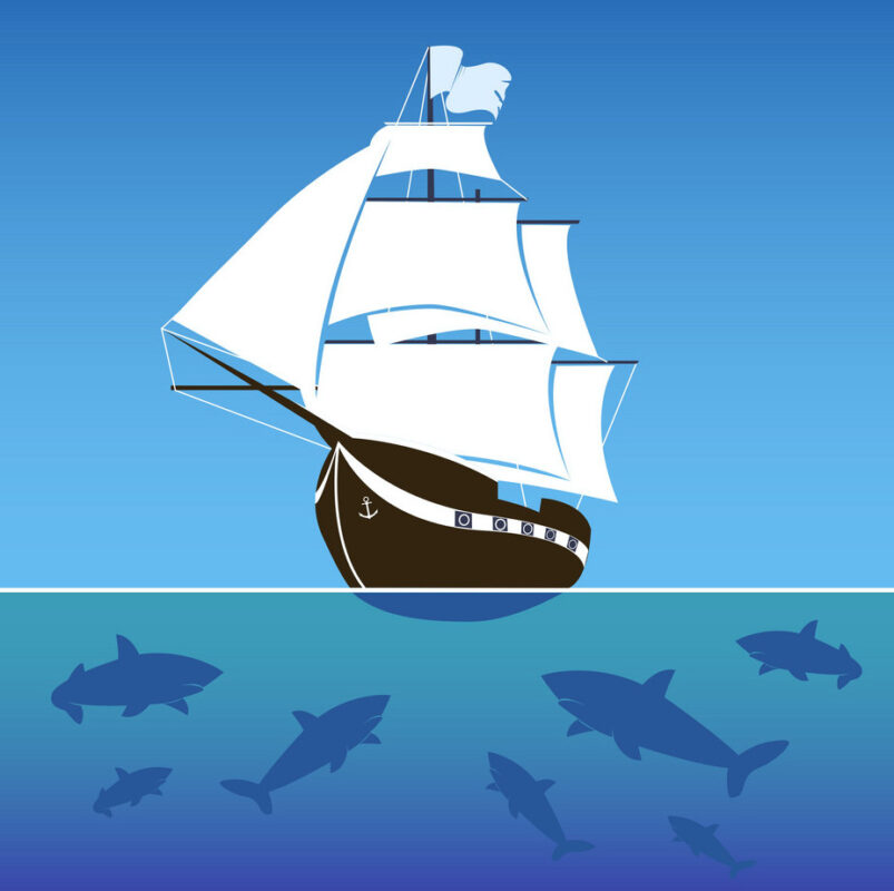
On land you use a Map but on the water you use a Chart. Here are some of the basic components of a chart:
Have we wet your appetite about Nautical Charts? Discover more about how to use Charts by clicking below.
READ MORE ON CHARTS SEE OUR NOAA CHARTS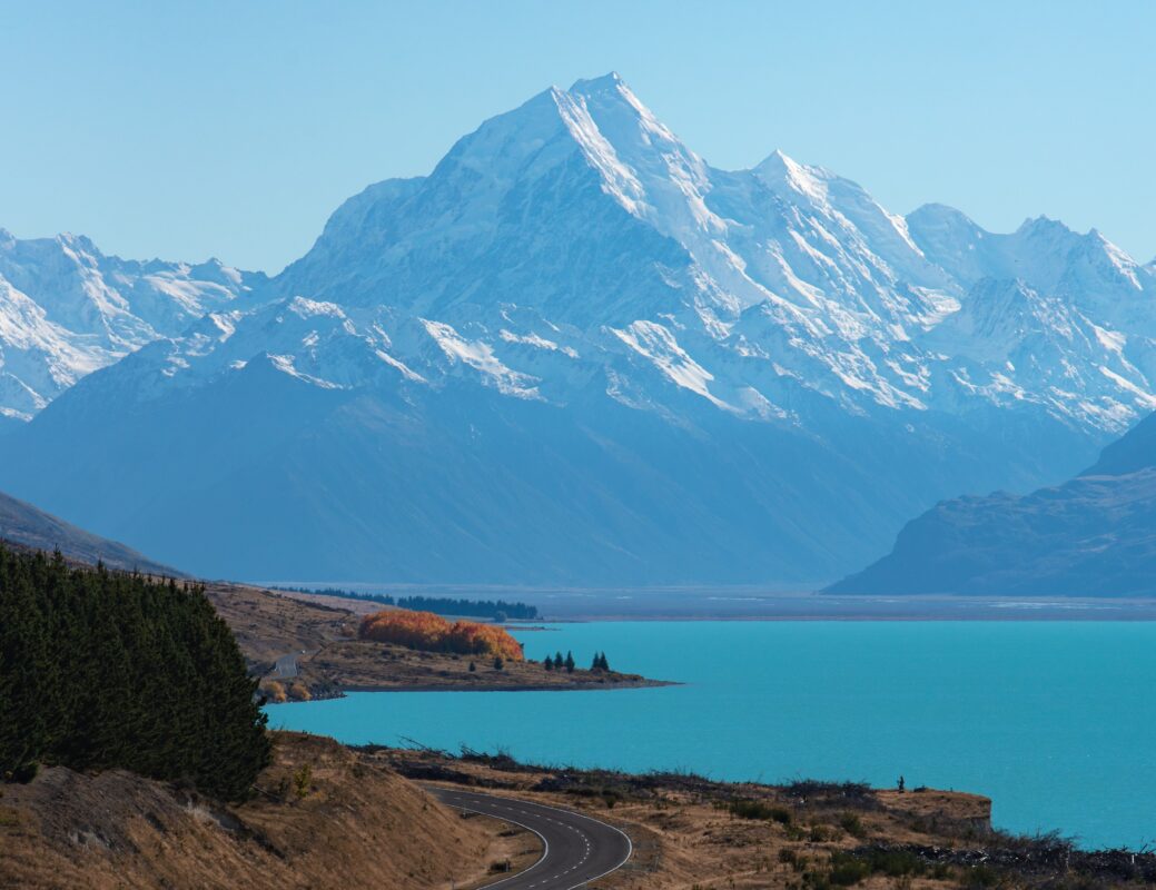
The world is opening back up and lots of us are ready to travel. This week the Map Shop spotlight destination is New Zealand:
Travel to Auckland and take in all the city has to offer.