

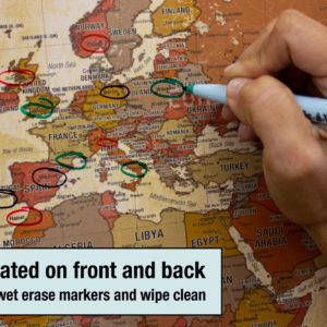
The map is laminated then installed
on a spring roller and backboard.


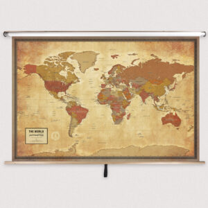


World Pioneer Classroom Pull Down Map w/ Backboard by South of Kings
$289.99 – $319.99
Publisher: The MapShop
Published: 2018
Printed By: MapShop
Published: 2018
Printed By: MapShop
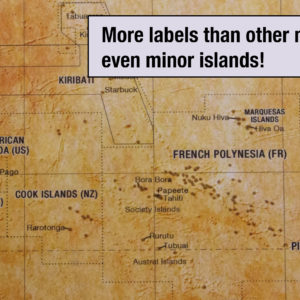
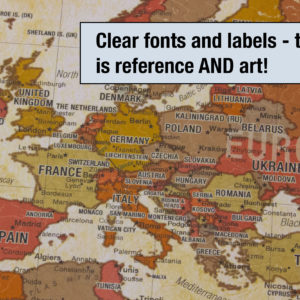
Grades 6-12
Also available as a standard wall map! Click here to purchase
School and Government Organizations: We accept purchase orders. Please click here for more information.
Spring Rollers
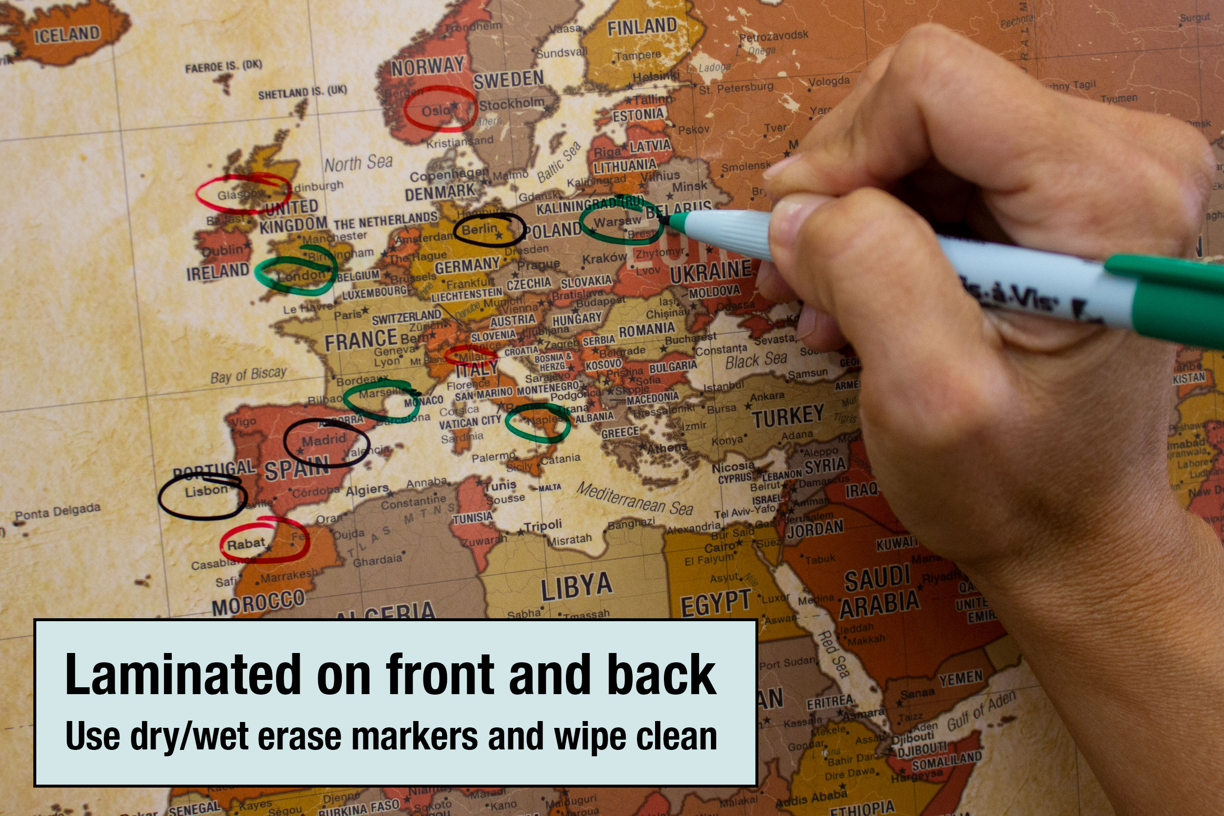
Spring rollers are the classic way in which wall maps are shown in a classroom but the vintage style is also gaining popularity as interior design pieces at home or in the office. Pull the maps down when you need them and roll them away when you don’t.
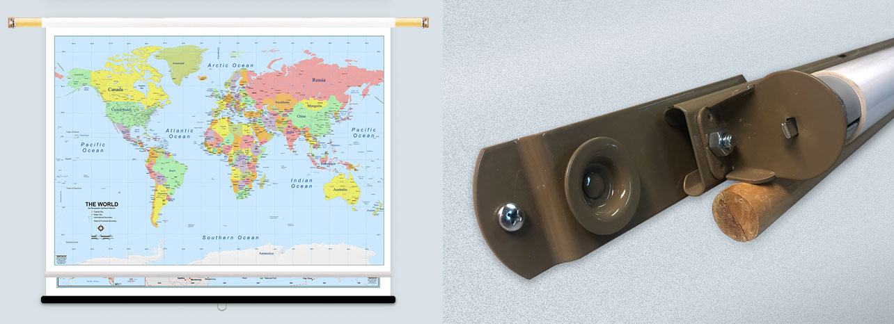
Each map will be laminated then loaded on the spring roller. The map in the back will have a pulldown bar and ring. The map in the front will have a white plastic flip bar. Pull down both maps using the pulldown bar to view the front map. To view the back map, you can flip the front map over the back of the spring roller using the flip bar.
This price does include Button Mounting Brackets to help with hanging and installation once received!
Print-on-Demand Series
This product is printed on demand using our large format inkjet printers. Print-on-demand maps are always in stock and you can order as many as you need all at once to have them ship together!
Returns
We offer free returns within 30 days for this product*. Contact us within 30 days of receiving your product to receive a return authorization number, which you can write on the box and ship back to us. We will issue your return within three days of receiving the product back.
We do not refund the initial shipping charges and you’re responsible for shipping charges to get the product back to us unless we made a mistake in the order.
*Finishes such as Foam Core with Rails & Framed are also not returnable as they went through production on a by-order basis by our team. If you have any questions on if your order qualifies for a return, please CONTACT US.
