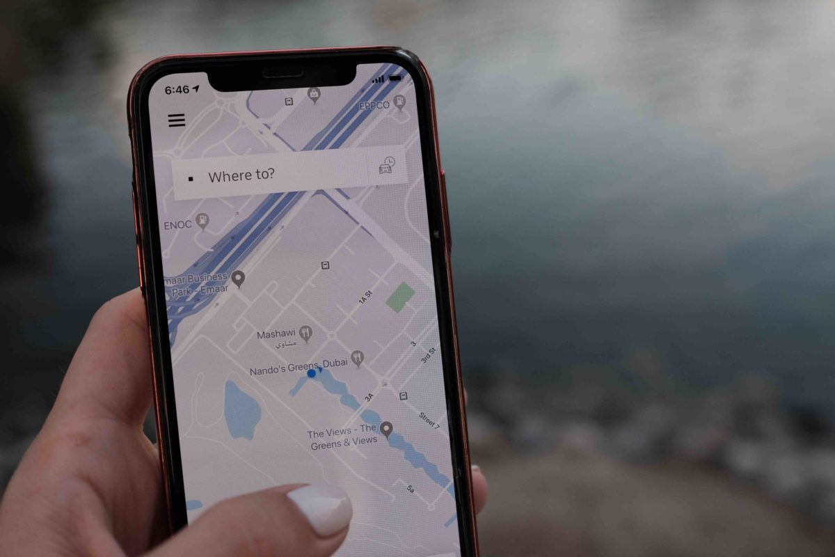
How Much Is Really On Google Maps?
Maps often contain a truly mind-boggling amount of information but you can’t help but wonder: what’s left out of the mix? This then brings up interest in whether unnamed villages make the cut. Long story short, Unnamed villages can show up on maps - particularly digital ones like Google Maps - but not always.

Why is this, and what are the reasons these villages are sometimes left behind?
Well, we’ve got answers. Let’s get into it, shall we?
The Basic Outline of A Map
To get into the presence of unnamed villages on maps, it’s helpful to first clarify what is typically featured on a map. As to be expected, the basic outline of a map is vast and varied. Some of the main things that make their way onto maps include:
Roadways/routes – Major landmarks – Rivers/lakes – Cities/towns
Topographical information, trails, and even big attractions will sometimes see inclusion, too. So, then, why are unnamed villages or teeny towns occasionally absent from these maps? It’s all simply down to what the mapmaker deems important enough to feature or what is appropriate for their map type.

Some may give bare-bones info, whereas others try to squeeze in every small road, path, and area possible. It’s all on a spectrum, and where a mapmaker decides to fall on it can determine the recorded fate of unnamed villages and small, one-light towns. Should they deem these nameless villages inconsequential, they’re probably not going to be on the map anytime soon.
Physical Limitations
Now, before you get irritated with the cartographers and map producers of the world, know that it’s not just them that determines whether a place will make its mark on the map or be left off entirely. Whether a map is physical — as in, the type printed on a page that you can hold and fold — or digital also helps to seal these villages’ fate.
Sorry to all you old-school map lovers, but physical maps more frequently exclude unnamed villages from their margins than digital versions. This is largely just due to the limitations inherent to them.
Since these are tangible objects printed, distributed, and bought by consumers, they have one shot at getting things right. What’s included is what’s included. There’s no adding or removing after they come off the proverbial press, and there’s only so much space for information to begin with.
The final result is that places will be accidentally forgotten or, as we discovered after delving into why New Zealand often gets left off the map, cut entirely. And when this happens, these poor areas are out of luck. All you can hope for then is that people will alert mapmakers to this foible and that they’ll be sure to correct it in new iterations of their maps.
The Digital Age
Okay, so then what about digital? Excellent news, friends — these tend to be a lot better than tangible maps regarding the subject at hand. Digital maps are fairly likely to feature unnamed villages, and Google Maps is particularly good about this.
Of course, much of this has to do with the fact digital maps don’t have the limitations of their IRL counterparts.
Able to be zoomed in to the nth degree, they can include as much information as they want, even the tiny details that typically don’t make it in print. They are also in constant flux, being updated to reflect new information as it’s received, which puts unnamed villages in a far better spot for inclusion.

Here’s where said villages really get the upper hand, though: digital maps give a great deal of power to the people. Anyone can add a business, road, town, or other places to these databases and ensure they get the representation they deserve.
It’s a little more of a process for unnamed villages as a name is regularly required. However, if you go to Google Maps’ support page and ask for an unnamed area to be added, you can go through other means of verification and get it added. Yes, it’s a bit of an added step for folks, but it makes a huge difference for the villages and towns that don’t get a lot of attention or visibility.

