A Map Shop Gift Guide
BACK TO SCHOOL
Supplies’ lists, backpacks, 3-ring binders, and enough pencils and pens that a small village would never go wanting – that can only mean one thing. It’s back-to-school time! This can be an exciting time, but it can also be one of high anxiety since there’s always that one class that poses a tough challenge. And for many people, geography (and other connected subjects) will, unfortunately, fall into this category during the coming semester.
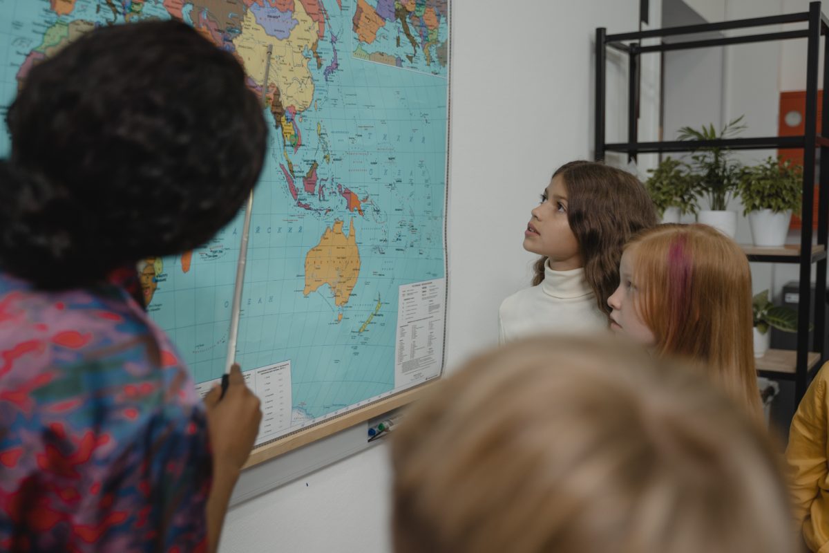
There are definitely a few tricks of the trade, though, that can help make things at least a little easier on you, and simply buying a few high-quality maps is a great place to start – not to mention one of the most effective depending on your subject shortcomings. But what should you be looking for to start you off on the right foot?

Well, we’re here to answer that. Continue reading below for our handy back-to-school map guide. Make a point to pick something from each of the three listed categories, and you should at least have a bit less trouble as the school bell ushers in a new scholarly season.
World Maps
When you’re a student, there are a few basics that you simply can’t afford to go without. Plenty of number two pencils, a trustworthy calculator, and more college-ruled lined paper that you know what to do with all find themselves at the very top of the list. However, a good world map should absolutely be considered a close runner-up.
Why? For starters, it will probably serve as your entrance to all things geographic. After all, our understanding of our world’s basic makeup serves as the basis for everything else to come. Other knowledge will come in due time, but only if it’s built on a rock-solid foundation.
Don’t know how our land is divided, can’t see the proximity between various countries, or cannot visualize how places can affect people? Then learning more zoomed-in, focused information can and will become a serious struggle. We clearly don’t want this, and that’s where world maps come in

With these, you can get a birds-eye view of how our landmasses are positioned and how each compares with the others. Oceans and continents are both clearly labeled, and most world maps will also break down all the countries contained within the latter.
Study these long enough, and you’ll be able to quickly identify locations without a second thought while also getting a clearer understanding of how trade, wars, and culture spread throughout the globe. That’s fantastic for securing higher marks in geography but can also serve you well for all sorts of other subjects, like history, sociology, and even English. Just be sure you choose a well-designed, color-coded world map (such as this World Scholar Wall Map) for more accessible, straightforward use!
United States Maps
Purchase of a new and shiny world map may be a near-necessity for keeping your grade high and class stress low, but other maps also deserve an immediate spot on your back-to-school shopping list. Amongst them is a good old U.S. map.
That’s likely no surprise to you and somewhat expected, considering the U.S. is often the center of what we learn about in schools. Although, what might surprise you is how flexible and helpful these can indeed be.
Unlike the general images you’ll see pinned up in any random classroom or pulled up on a cursory Google search, U.S. maps come in a wide variety of flavors, each with their distinct uses, provided information, and style. Besides the regular wall maps that merely label each state, you can also track down political U.S. maps, physical ones, business, historical, topographical, and many more.
There’s pretty much a map for everything you could possibly want to know about this land we call home. Need to know where you can find the highest mountain ranges or the most densely populated areas? Have a question about the progression of territorial growth or how our national park system is connected and spread over the country? There’s a map specifically tailored with all your needed info.
Snag yourself what you think will be most helpful and hang them where you’ll see them day-in and day-out. This will inevitably make you find yourself more prepared than those around you, ready to answer any niche question and complete your homework, no panicked flipping through pages or twenty internet searches necessary.
Science & Climate Maps
World maps and U.S. maps certainly have a time and a place. If you’re doing your best to get through history, geography, and any region-focused courses in one piece, said map options could be an undeniable godsend.
They can even be helpful for literature classes, aiding you in seeing exactly where a real setting is located and allows you to track character movement or plot progression amongst various settings.
Although, these more broad, typical map types don’t do much for you when it comes to other classes. But there are some that will, namely science and climate maps. As the name would suggest, these maps go beyond representing how countries, continents, and states fit together or where they’re located on a grand scale. Instead, they present location-specific scientific information, using mapping as a tool to communicate this with increased clarity and spatial awareness.

Once again, if you can think of it, a map probably already exists that fits the bill. A complete world diagram of plate tectonics? A mapping of dinosaur habitats or points of origin? Representation of global earthquake zones? Figures detailing centers of energy consumption? Each of these are widely available and perfect for the map-loving scholar who would enjoy utilizing the medium for biology, physical science, anthropology, and beyond.

