Map & Globes Have The Same Purpose … Right?
Maps and globes are the two best solutions we have for learning about the Earth, how it’s pieced together and where everything lies in relation to one another. However, they’re far from identical, each with some key distinguishing attributes that make them better in some ways and worse than others. Let’s dive into that a bit.

Read along for all the essential info, and you should be able to more easily identify which is the better option for you and your educational needs.
What Is A Map
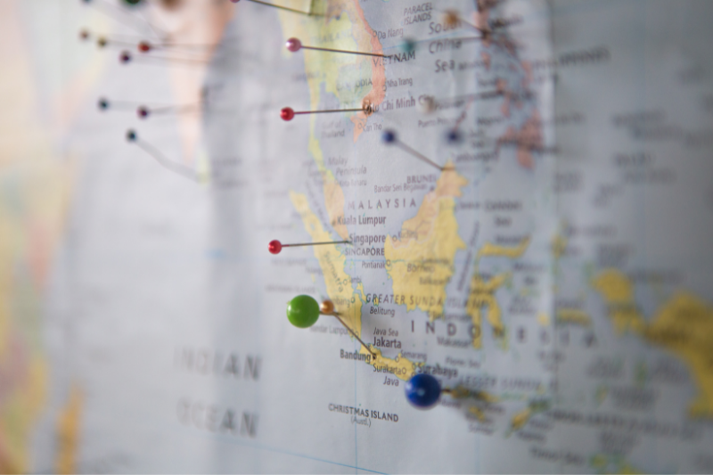
It may feel silly to define something so easily familiar, but it’s critical to understand just what a map is before delving any deeper. So, a map is essentially a drawn or printed representation demonstrating how certain selected things appear alongside another.
For our purposes, this more explicitly details features of the Earth’s surface, like the location and positioning of our countries, roads through individual states, trails you’ll find along a hike, etcetera. This helps us identify places, locations, or characteristics of these and can ultimately assist in navigation from one area to another and aid in the planning process of travel.

These aren’t just represented in any random fashion, though. These maps are always printed on a flat surface with information scaled down to a more manageable and equal level defined and communicated to map readers in a clear, digestible way. Why? Because it ensures they have a slightly more accurate knowledge of real-world size and distance despite the inherent challenges of representing vast spaces in a necessarily much smaller format.
What Is A Globe
Contrary to what our culture may have you believe, there’s a lot more to a globe than being a pretty piece of décor gathering dust at the corner of someone powerful person’s office desk. It’s instead a beneficial way to envision how our world – its continents and countries – are put together.
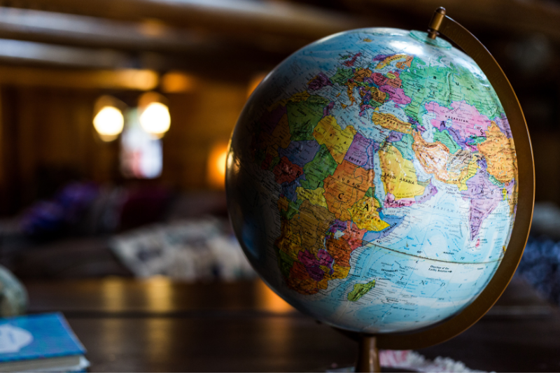
For a more official definition, a globe is a spherical model of the Earth that means to (mostly) represent this as it truly looks from space, primarily altering its scale for obvious reasons. Thus it still showcases all the landmasses and bodies of water that pepper our planet, giving us a wonderful, up close, and personal look at something the majority of us would otherwise never get to experience. Although, some do provide additional information beyond what’s visible to our astronaut friends up in orbit.

Labeled nations, prominent cities, latitudinal and longitudinal lines, and reliefs of various important mountain ranges are all still rather common and up for grabs. We then get plenty of information in addition to a more realistic representation, making globes a fantastic option for all your educational needs. Plus, they do look pretty cool on those desks we mentioned – always a perk! Need a place to buy one? Head on over to our shop and see for yourself.
3 Key Differences Between The Two
Maps and globes most definitely each serve a purpose and have a place within learning about the world around us. Maps display a wider net of information, covering everything from the expected representation of our countries to our interstate system, national parks, and more, one of the major pluses to maps. But don’t count globes out. They have the advantage in other ways thanks to several differences between the two. Want to learn more? Here are three serious key differences and what impact they hold.

Globes Are Three Dimensional
We’re well aware that this seems like an inconsequential, “duh” characteristic separating globes and maps from one another. Still, it’s a detail that has a severe effect on their uses and benefits. Namely, the fact that globes are spherical and 3D means they’re significantly more accurate than flat maps. After all, it’s impossible to truly represent a spherical object on a flat surface. It just doesn’t translate properly.
That why globes are an awesome alternative. Their shape is more accurate to the shape and positioning of our Earth’s continents, leading to far less distortion. You’ll never have to worry about countries seeming entirely out of proportion with their real-world counterparts, nor be concerned that the positioning looks nothing like represented. Everything is aligned as close as we can get it, something that can aid you in understanding our planet’s true nature. Distances also are less skewed, which maps struggle with by and large regardless of proper scaling.
Globes Are Broader, Maps More Specific
As previously stated, the information shared by maps and globes may sometimes overlap, but they’re also often very different in nature. Globes boast a broad view of the world, and they should. That’s what they’re for – getting a total image of our beautiful lands, oceans, and more. Meanwhile, maps are actually much more specific. You can find a map for pretty much anything under the sun.
Looking to hit the road? There are state maps in every variety. Heading out to sail the high seas? Pick up a navigational chart, and you’re good to go. Got lost on your new college campus? There’s going to be a map that can help you find your way somewhere. The number of thematic maps out there is staggering, showing off their flexibility for any situation.
Also, because of fewer space restrictions and the ease of working with a two-dimensional surface, even the regular old world map or country map will display greater information like landmarks, ports, water levels, routes, and similar. Does this make it inherently better? Not necessarily! They each have their uses and are best used together, filling in any knowledge gaps the other might create.
Maps Are Far More Portable
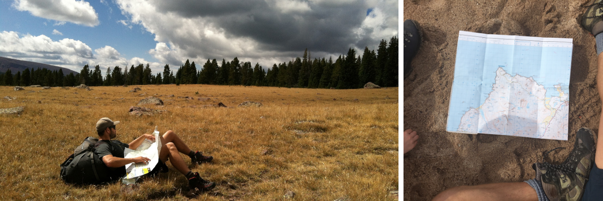
There isn’t one type of representation that rules them all, but that doesn’t mean there aren’t some clear ways one might top the other in certain situations. For example, maps deserve an absolute gold star over globes when it comes to portability. 2D, available in nearly any size you need, and pretty easily packable because – well – paper, carrying around a map to consult whenever you need it is beyond simple. Globes, though? Not so much.

Let's Go With ...
Maps and Globes will each have their purpose and they work great in the way they are designed. It really comes to form or function when deciding what you need!
Maps are great for those who love travel and need a quick reference to use on the go. We have a whole selection of various types that cover different parts of the world!
Odds are you won’t need to consult them for anything urgent, like finding your way back onto a path or discovering where you made the wrong turn for Belgium, but their lack of portability does have its disadvantages. Globes are still a fun gift and very interactive. If you need a globe, check out our shop!


