3D Raised Relief Maps

A 3D raised relief map is a topographical map that shows off terrain three-dimensionally, providing map users a more physically descriptive map than they’d get with a traditional flat map. Map Shop Raised Relief maps are printed on 2mm thick high-grade rigid vinyl, then one of our technical artists heat-treats and vacuum-forms each individual print over our custom molds

What Are They

Unlike their practical counterpart maps that are used as navigational tools, our 3D maps are primarily used for aesthetic purposes. Most people use raised relief maps to get a general sense of a landscape topography.

Our 3D Raised Relief maps offer an accurate three dimensional representation of nature and the landscape, showing all the features of the particular geographical area. Map Shop Raised Relief maps showcase peaks and valleys in a touchable unique way that will literally make you feel something.

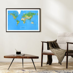
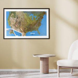
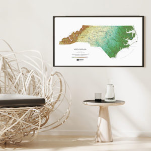
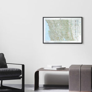
Creating a 3D Raised Relief Map

Our Process

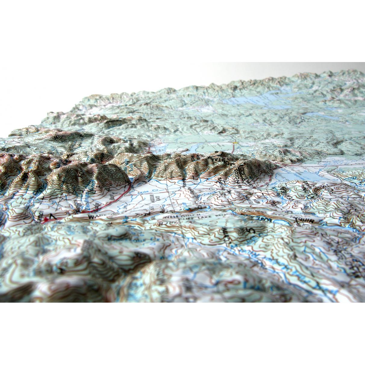
The first step in Raised Relief creation is actually one of the most complex, because map makers have to collect and translate elevation data. This is done by using Digital Elevation Models or data captured from satellites, photographs, etc., that’s organized digitally and processed to represent physical location terrain.

At the Map shop we utilize the vacuum form method to create our 3D raised relief maps.  Each map is printed on 2mm thick high-grade rigid vinyl, then one of our technical artists heat-treats and vacuum-forms each individual print over our custom molds

CLICK HERE to learn more about the map making process!

Custom Raised Maps

Unfortunately, at this time, we are not able to make custom Raised Relief Maps. We are in the process of creating our own maps and updating designs of maps we currently have. 

If you are interested in having a custom Raised Relief map made in the future, please CONTACT US with your name and area of interest and we can add you to our list of interest people!